
Eagle Lake and Bryant Lake Regional Trails
Consultation has concluded
PROJECT BACKGROUND INFORMATION
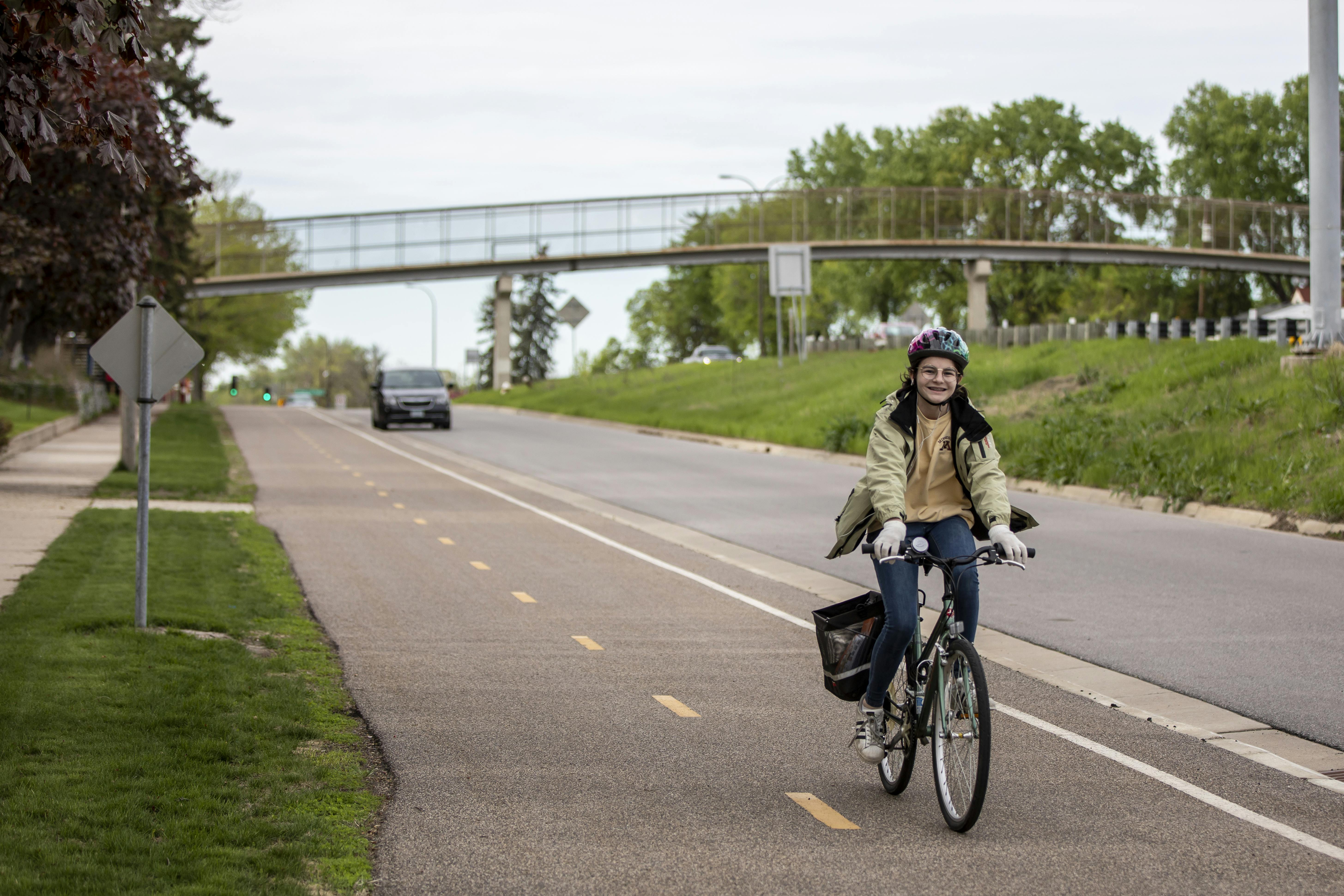
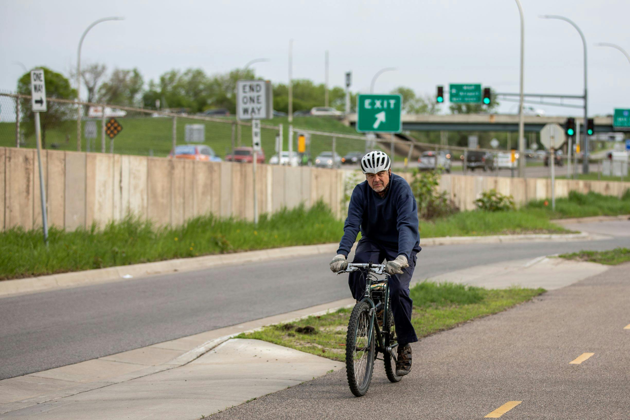
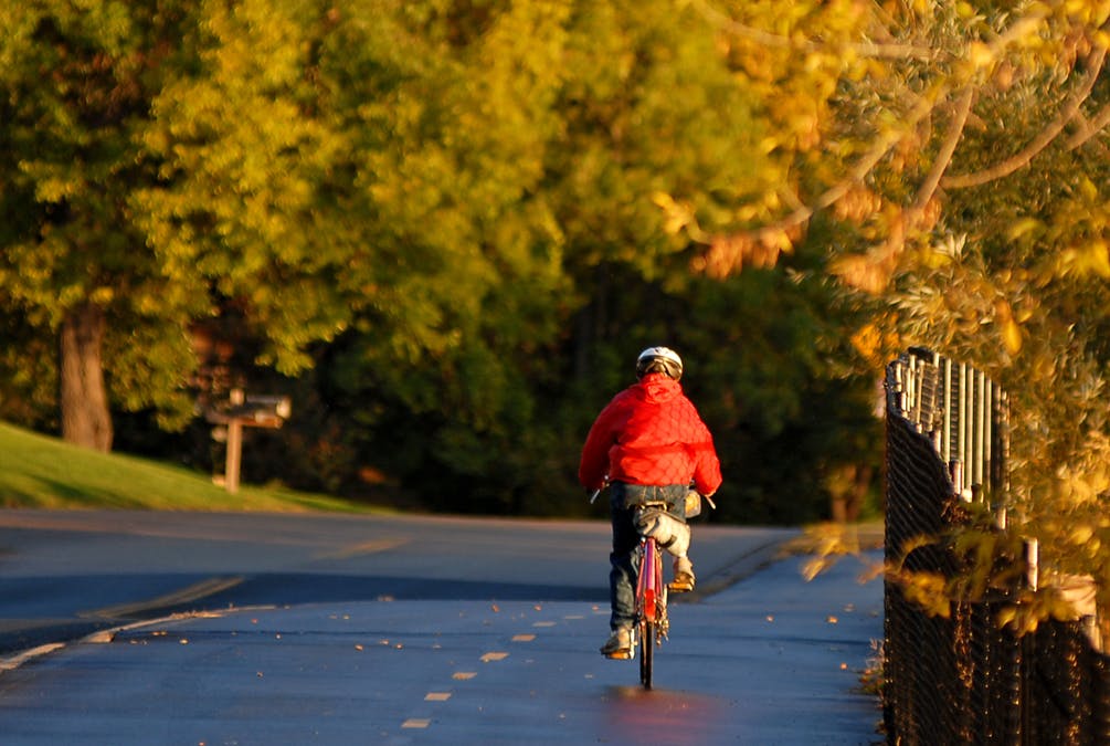
The Park District has completed the planning of a 17-mile trail to connect the communities of Maple Grove, Plymouth, Minnetonka and Eden Prairie, which may eventually include future extensions to Elm Creek Park Reserve to the north and the Carver County Regional Trail System to the southwest.  The Eagle to Bryant Lake Regional Trail will be a 10-foot-wide, paved, multi-use trail supporting biking, hiking, dog walking, running and in-line skating.
The route was selected to connect areas of high natural resource value, local parks or trails, commercial areas, and other planned or existing regional trails when feasible.
Public and City Partner Engagement
In 2019 Three Rivers worked with focus cities to obtain public input and identify the proposed trail route between French and Bryant Lake regional parks. From June 2020 to March 2021 Three Rivers built upon this work with the additional engagement of the residents along the proposed route and adjacent communities.
Three Rivers used this community and partner city feedback to determine a preferred route. The Park District brought forward the revised master plan to public agency partners, the Park District's Board of Commissioners, and the Metropolitan Council. It was approved in the Fall 2021 and will be implemented when funding is available.
You can view the final ELBLRT Master Plan to your right under important documents.
Important Documents
-
 TRPD 2019 West Metro Trails Study (42.4 MB) (pdf)
-
EBLRT Presentation for Baker Road Residents, 12/8 (41.4 MB) (pdf)
-
EBLRT Presentation for Plymouth Residents, 12/9 (12.9 MB) (pdf)
-
EBLRT Presentation for General Public (19.4 MB) (pdf)
-
NEW Preliminary Concept Maps - Preferred Route
-
Final ELBLRT Master Plan (83 MB) (pdf)

My wife and our kids live off Berkshire & Baker, and we are frequently traveling on Baker Rd to our kids’ school and shopping. For recreation, we ride bikes, run, and walk in our neighborhood and sometimes on Baker Rd. The safest plan for a trail on Baker Rd would be to build it on the east side of Baker. Because of the interstate and the commercial businesses, there are far fewer people living on the western side, and thus if the trail were located on the west side, there would be exponentially more pedestrian crossings of Baker Rd to get to the trail. Baker Rd is very dangerous to cross because of the steep hills, blind curves, and high-speed traffic. Thank you.
Removed by moderator.
We live on Zachary Lane (south of medicine lake) and absolutely love this plan! We've been wanting to see something go in for years. So many people walk, run, and bike down our street that this would definitely be a valuable investment in our community.
We live in the Glen Lake area of Minnetonka and are very excited for this very needed North-South regional trail. Please be sure there is safe access to the trail along excelsior Blvd. The county and city are way overdue in completing a trial along Excelsior Blvd which makes biking/walking dangerous for hundreds of homes. Only racing teams are seen biking along Excelsior Blvd given this danger. Our only safe option is along Hwy 62 but that has not been maintained well and can also be dangerous. We are excited to have a regional trail so close to us and we hope to see this new regional trial built as soon as possible.