
Eagle Lake and Bryant Lake Regional Trails
Consultation has concluded
PROJECT BACKGROUND INFORMATION
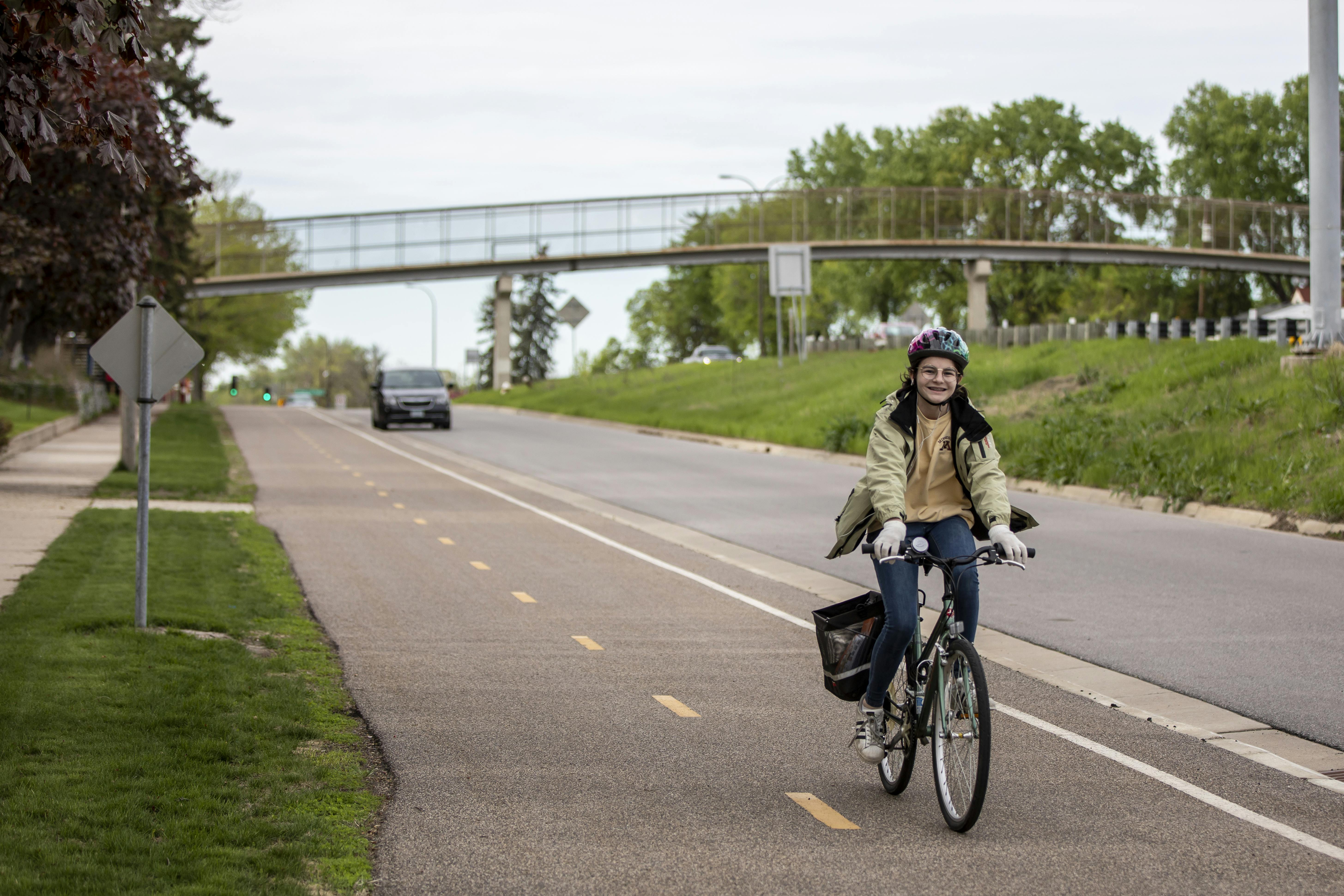
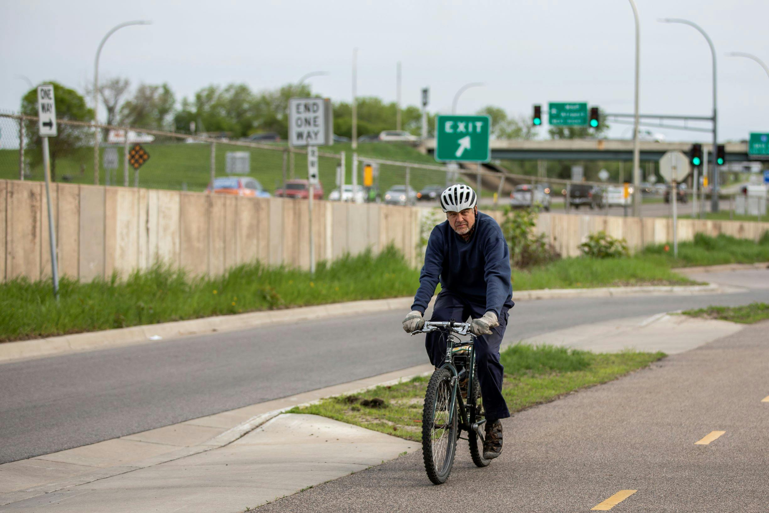
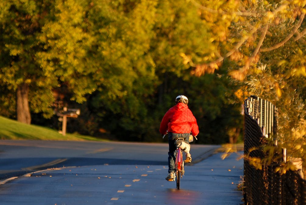
The Park District has completed the planning of a 17-mile trail to connect the communities of Maple Grove, Plymouth, Minnetonka and Eden Prairie, which may eventually include future extensions to Elm Creek Park Reserve to the north and the Carver County Regional Trail System to the southwest.  The Eagle to Bryant Lake Regional Trail will be a 10-foot-wide, paved, multi-use trail supporting biking, hiking, dog walking, running and in-line skating.
The route was selected to connect areas of high natural resource value, local parks or trails, commercial areas, and other planned or existing regional trails when feasible.
Public and City Partner Engagement
In 2019 Three Rivers worked with focus cities to obtain public input and identify the proposed trail route between French and Bryant Lake regional parks. From June 2020 to March 2021 Three Rivers built upon this work with the additional engagement of the residents along the proposed route and adjacent communities.
Three Rivers used this community and partner city feedback to determine a preferred route. The Park District brought forward the revised master plan to public agency partners, the Park District's Board of Commissioners, and the Metropolitan Council. It was approved in the Fall 2021 and will be implemented when funding is available.
You can view the final ELBLRT Master Plan to your right under important documents.
Important Documents
-
 TRPD 2019 West Metro Trails Study (42.4 MB) (pdf)
-
EBLRT Presentation for Baker Road Residents, 12/8 (41.4 MB) (pdf)
-
EBLRT Presentation for Plymouth Residents, 12/9 (12.9 MB) (pdf)
-
EBLRT Presentation for General Public (19.4 MB) (pdf)
-
NEW Preliminary Concept Maps - Preferred Route
-
Final ELBLRT Master Plan (83 MB) (pdf)

I live just off Eagle Lake and walk the trails in the park daily. I love the area down by the point and am excited about the potential to have the bike trail connect from Eagle Lake to Bryant Lake. As I look at the plans, I see there is still more planning to come for segment A2 through the Eagle Lake Regional Park Master Plan. I would love to be involved with that process when it comes around and happy to help in any ways with the project. Myself and many of the neighbors I talk with love the country & natural feel that is present in Eagle Lake area (gravel road, nature, a bit more rustic). I think taking part of the roadway and making it a paved for bikes would be great. My suggestion would be to use this opportunity to close off that road to vehicle traffic by gating it near where the asphalt turns to gravel on 63rd a few blocks East of Hemlock. Potentially could create a small parking lot by that initial inlet as a trail head but then restrict vehicles from driving down what is currently the gravel road. This will allow you to only have to install a paved path the normal width and potentially leave some of the gravel road in place to keep the country feel. I don't believe the road is wide enough to have both a bike path and still allow for people to safely drive on that road without having to widen it and loose more trees. We have seen more and more cars driving on paths and in the grass areas on the point so this would also help reduce that traffic. Thanks again for all the park district does and I look forward to the trail expanding.
I live on Baker Road in a home that will be impacted by the proposed trail. Many of the older homes along this route are very close to the road and the installation of the trail will require the removal of mature trees. Due to the proximity of many homes, including mine, to the roadway, your proposal essentially places a trail and its users in my front yard, very close to my home-- resulting in a diminution in the value and privacy of my home; for this reason I am opposed to the current proposed placement of the trail.
Great plan. It would be a great opportunity to connect subsegment B8 to LaCompte Park. It would also be a perfect time to work with Plymouth to utilize the Co Rd 73 Park/Open space. Leverage new uses for that land and create a board walk through the area similar to the Norther Greenway work off Peony Lane. Plymouth needs to step up and ask the Grantor/Funder of the 73 open space for flexibility to create a more cohesive park and trail system.
The proposed at grade crossing at Hwy 55 is currently challenging and with a regional trail that challenge will not go away. I can see a pedestrian bridge from Plymouth Transit Station landing on the City platted ROW adjacent to 10700 Hwy 55. Using the platted ROW to head north to 10th Ave/South Shore Drive. This will also set up a safer crossing at 10th Ave/South Shore Drive with better lines of sight on the straight roadway. The current crossing at 10th Ave/South Shore Drive is proven to be difficult with line of sight is limited on a curved road and turning traffic.
B7 & B8: The 55 crossing is currently brutal. Contingency planning with a grade separated crossing would be good to show as an option with cost estimates. It makes sense to not lock into that due to the potential changes on 55 and County Road 73 but having some idea how it might look would be helpful.
Are there long term plans to rebuild 73 in this section?
The east-side option requires trail users to cross 10th (4,050 AADT), and 73 twice (3,000, 6,900). A west-side option would require crossings at South Shore Drive (1,350), Sunset Trail (1,750) and Ridgemont Ave (1,900), and would better connect to the trail along Ridgemont Ave that leads to Wayzata East and Sunset Hill Elementary. The west side option would allow the larger amount of residences west of 73 better access as well.
The intersection at 55 makes a western alignment trickier but crossing the lower volume streets and the better access to the adjoining neighborhoods and schools seems to make this a better option.
Page 46: the text box regarding reducing the travel lanes to 11' is incomplete.
A North South Trail is sorely needed. Please include bridges over Hwy 55 and I94. I am a heavy user of the 3 Rivers Trail System. Your proposed trail will be a welcome addition to our trail system.
This appears to be a very sound plan. As a Minnetonka resident of nearly 25 years I applaud this strategy to create a north-south connection for active travel and outdoor recreation. We currently have challenges with finding pathways for our children to safely travel in these directions by bike or on foot. This will add significant value to our western suburb community and I completely support it.
Please include a bike bridge over I94 at the north side of Eagle Lake. When you constructed the Nine Mile Creek Trail in Edina you included bike bridges over HWY 100 and HWY 62. Whenever I bike up to Eagle Lake from Eden Prairie I always continue to the mall or Elm Creek Park.
I would love a north-south biking connection from Plymouth to Eden Prairie. Crossing 55 is a problem. A tunnel or bridge would help a lot.
Excellent plan! While I don’t work in Eden Prairie anymore, I did a few years ago and biked there several times from my house in Plymouth along the parts of the proposed route and there were areas that were truly frightening, especially along Baker Road, crossing Highway 55. Getting a paved, dedicated trail in place would make biking AND driving a car much safer for BOTH. I also echo the thoughts about a bridge across Highway 55 if possible, or at least a trail with a better crossing, like at Highway 55 and Theodore Wirth Parkway. Whatever is done will be an improvement! Thanks for continuing to work on improvements to our amazing trail system!
Just moved to Minnetonka off Baker/Excelsior and am very excited for this proposal! Will be highly used by our family. We've noticed how dangerous it seems to be walking/biking Baker Rd right now without any sidewalks/bike lane designations and this provides a safe solution. Look forward to the community demos as we get closer - happy to continue supporting this project.
This will be a great addition to the trail system. The crossing of 55 is a major concern though. You should consider significant changes to that intersection to improve safety. If an overpass or underpass isn’t practical, better markings or signals would help.
Love this idea!! Thank you for planning more bike trails! They will be well used by us and will offer great benefits to the community
Can you please add a much safer crossing at Hwy 55? A bridge or tunnel is preferred!!
Crossing 394 (north to south) is fraught with danger now. Cars taking a right on red from the frontage road onto Co Rd 73 often don’t see bikers. How can that be made more safe?
Will the bike lanes be separate from the pedestrian lanes throughout the trail?
Thanks for finally making a safer walking/biking lanes!!
I love this idea. Hopkins Crossroads, the current obvious N-S route, is so dangerous for bikers/walkers/runners. There are some sections where the "shoulder" is barely a few inches. As a Hopkins resident who wants to head north, I would LOVE LOVE LOVE to see this happen. Thank you!
We are very excited about the proposed trail plan, especially the possibility of connecting to two other trail systems in the future. This trail will be well used and will serve the local community in a great way.
I love the trails around Medicine Lake! Thanks!
Happy to see this project and the alignment proposed! Love to see more north-south connections and that the trail would include a connection to the Luce Line Regional Trail. A safer crossing over hwy 55 would be really great to have - an above grade or tunnel across 55 would be awesome.
My pooch and I love the trails available and this looks like it will be another great place to walk. Look forward to hearing more about it as it moves thru the stages of development.
Yes!!!! East Plymouth residents will be SO happy we will be getting a quality bike trail. I love that it parallels Zachary Lane and that it connects to the Luce Line. If we could also make the Northwest Greenway more accessible from the East, that would be awesome! Thank you so much!!
More north-south trails would be great, was very glad to see this project!