Share Diamond Lake Regional Trail Master Plan on FacebookShare Diamond Lake Regional Trail Master Plan on TwitterShare Diamond Lake Regional Trail Master Plan on LinkedinEmail Diamond Lake Regional Trail Master Plan link
Project Background and Status
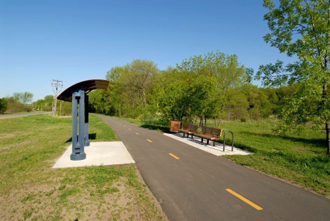
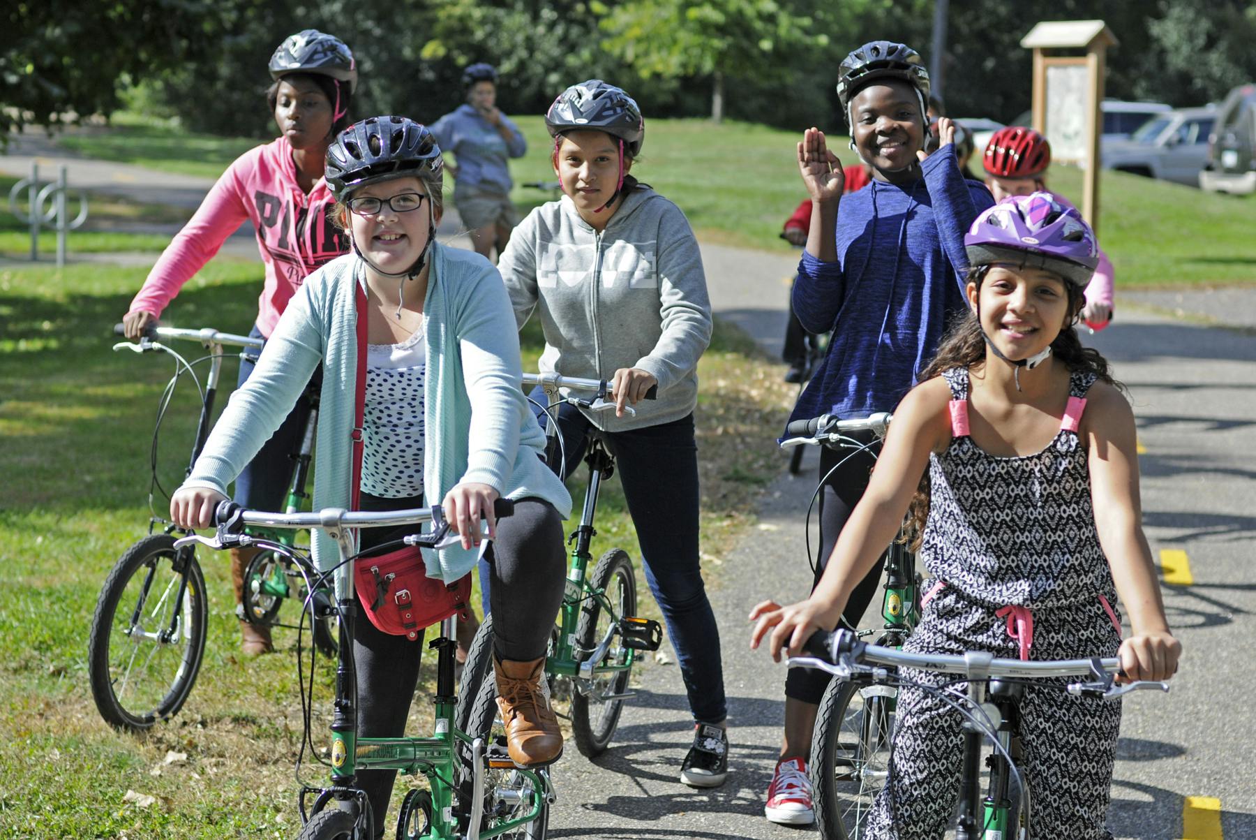
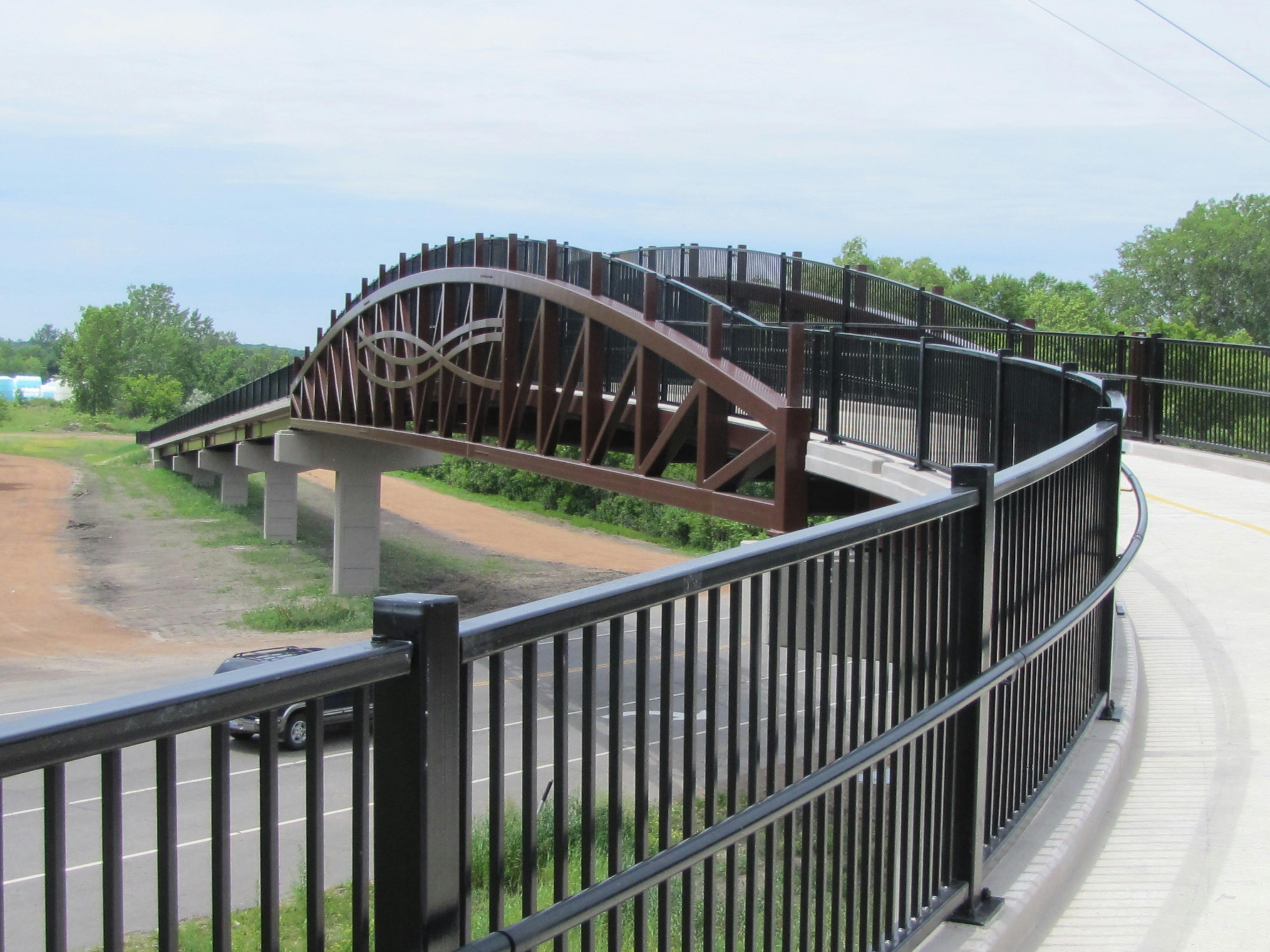
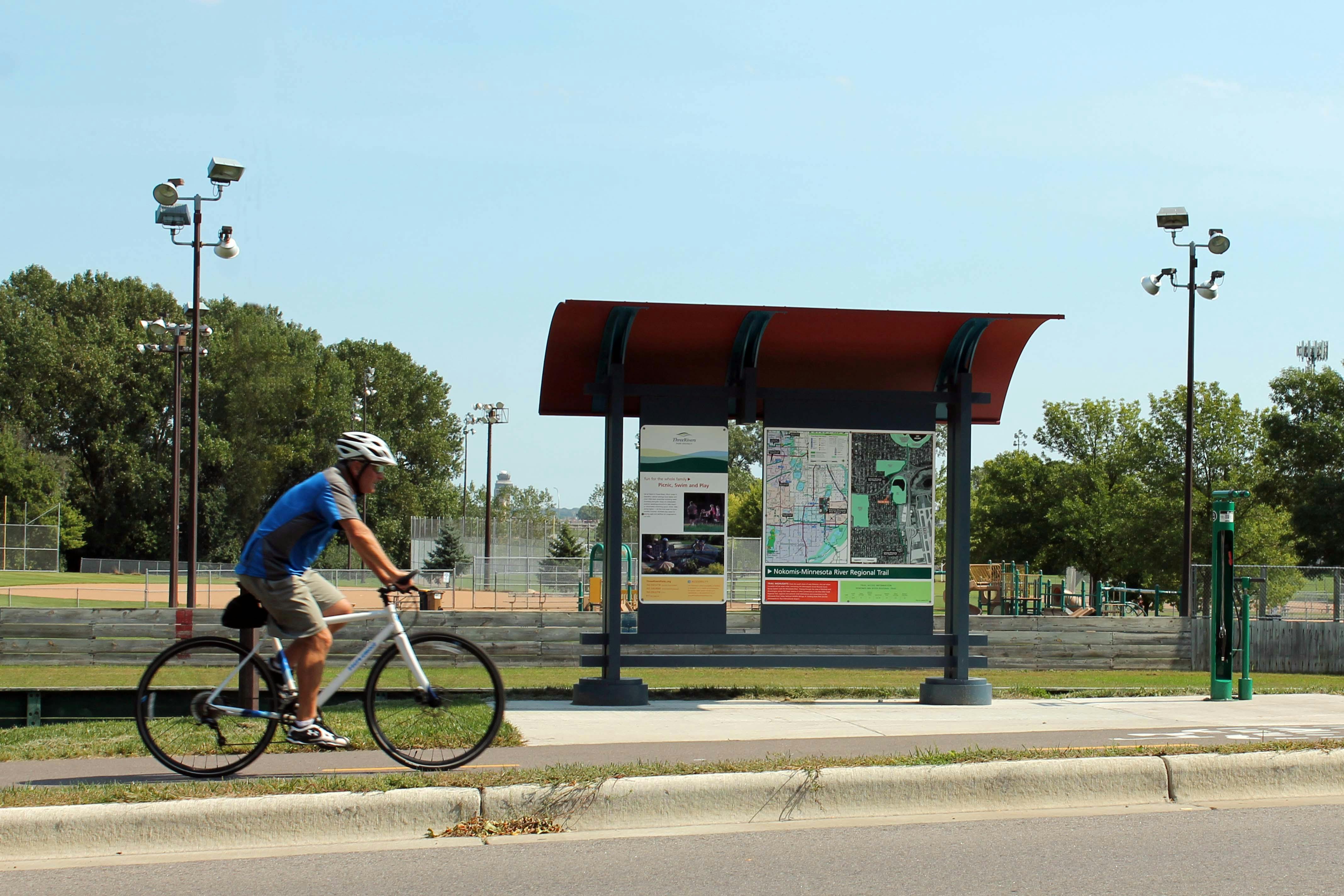
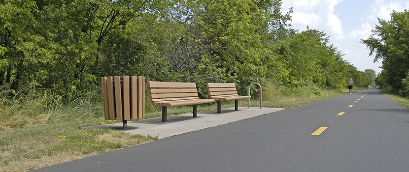
Three Rivers Park District is leading a master planning process for the Diamond Lake Regional Trail - a new north-south 10-foot-wide paved, multi-use regional trail through western Hennepin County which would allow biking, hiking, dog walking, running, and in-line skating.
In 2020, Three Rivers obtained extensive feedback from the community and coordinated with city partners along the proposed route to determine and approve the preferred route for the regional trail. The Diamond Lake Regional Trail is now envisioned to connect to the West Mississippi River Regional Trail in Dayton at its northern terminus and travel through Rogers and Corcoran to the Lake Independence Regional Trail and Baker Park Reserve in Medina at its southern terminus. After additional public engagement in 2021 and at the request of the cities of Medina and Long Lake, the preferred route for the regional trail will avoid southeast Medina and the City of Long Lake.
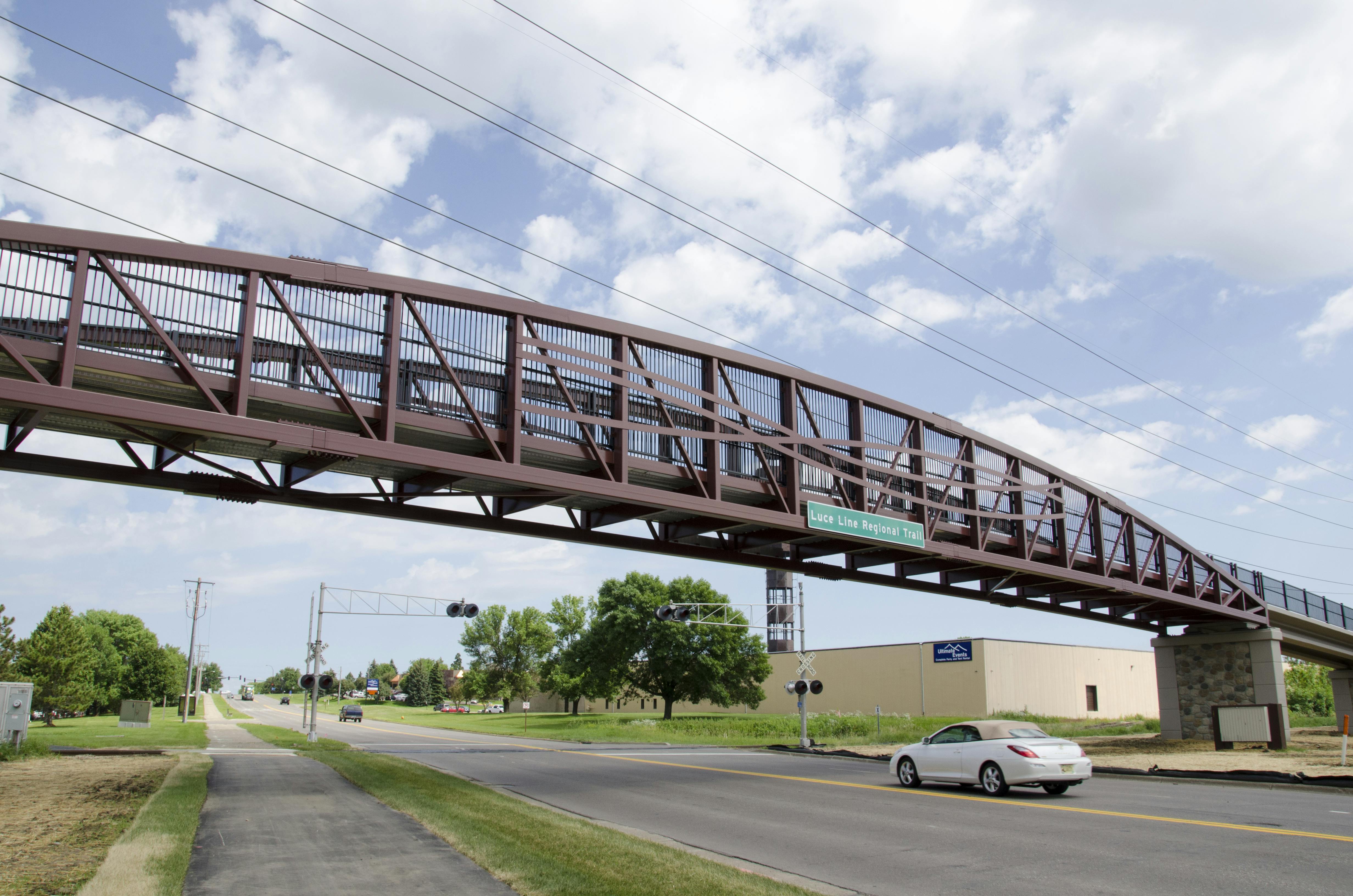
This planning effort also envisions a north-south trail connection in Wayzata and Orono linking the Dakota Rail Regional Trail and Luce Line State Trail. This trail connection will be called the Dakota Rail – Luce Line Connector Regional Trail. This trail connection, along with the existing trail connection of the Luce Line State Trail and the Lake Independence Regional Trail, will provide the contiguous trail route that was originally envisioned for the Diamond Lake Regional Trail corridor.
For quick reference, a PDF map of the preferred route for the Diamond Lake Regional Trail approved by each community is available here.
A detailed, interactive map for the preferred route is available here.
30-Day Public Comment Period
Three Rivers Park District has completed the draft master plan for the Diamond Lake Regional Trail and Dakota Rail – Luce Line Connector Regional Trails.The 30-day public comment period took place from May 4, 2022, through June 3, 2022. View the updated draft master plan.View the master plan appendices, including comments received during the public comment period.
Following Metropolitan Council approval and final adoption of the completed master plan by the Three Rivers Park District Board of Commissioners, Three Rivers will work to secure funding and work with willing sellers and partners to secure required property rights and commence trail construction. Trail construction will occur in multiple phases as funding and development opportunities allow and will likely take two to three decades to fully achieve.
Project Background and Status
Three Rivers Park District is leading a master planning process for the Diamond Lake Regional Trail - a new north-south 10-foot-wide paved, multi-use regional trail through western Hennepin County which would allow biking, hiking, dog walking, running, and in-line skating.
In 2020, Three Rivers obtained extensive feedback from the community and coordinated with city partners along the proposed route to determine and approve the preferred route for the regional trail. The Diamond Lake Regional Trail is now envisioned to connect to the West Mississippi River Regional Trail in Dayton at its northern terminus and travel through Rogers and Corcoran to the Lake Independence Regional Trail and Baker Park Reserve in Medina at its southern terminus. After additional public engagement in 2021 and at the request of the cities of Medina and Long Lake, the preferred route for the regional trail will avoid southeast Medina and the City of Long Lake.
This planning effort also envisions a north-south trail connection in Wayzata and Orono linking the Dakota Rail Regional Trail and Luce Line State Trail. This trail connection will be called the Dakota Rail – Luce Line Connector Regional Trail. This trail connection, along with the existing trail connection of the Luce Line State Trail and the Lake Independence Regional Trail, will provide the contiguous trail route that was originally envisioned for the Diamond Lake Regional Trail corridor.
For quick reference, a PDF map of the preferred route for the Diamond Lake Regional Trail approved by each community is available here.
A detailed, interactive map for the preferred route is available here.
30-Day Public Comment Period
Three Rivers Park District has completed the draft master plan for the Diamond Lake Regional Trail and Dakota Rail – Luce Line Connector Regional Trails.The 30-day public comment period took place from May 4, 2022, through June 3, 2022. View the updated draft master plan.View the master plan appendices, including comments received during the public comment period.
Following Metropolitan Council approval and final adoption of the completed master plan by the Three Rivers Park District Board of Commissioners, Three Rivers will work to secure funding and work with willing sellers and partners to secure required property rights and commence trail construction. Trail construction will occur in multiple phases as funding and development opportunities allow and will likely take two to three decades to fully achieve.
If you have general comments about the Diamond Lake Regional Trail planning process, please share them here.
You need to be signed in to comment in this Guest Book. Click here to Sign In or Register to get involved
Would love to see a trail system throughout Rogers to provide safe walking and biking! We lack easy ways to navigate through nature like our neighboring cities have, and would greatly benefit from this plan
MD09
Over 5 years ago
Would love to have the vision to bring Three Rivers trails through Rogers to fruition with this project. A stop at Henry's Woods is a must. Safe pedestrian corridors like this trail are what will help connect our community of Rogers to the Three Rivers ecosystem. Great work!
Peter M
Over 5 years ago
We do not want a paved trail going through the woods and destroying the wetlands on the south side of our property in Hassan Hills. It could easily go around this area and it could easily be preserved. We would like to see the landscape left as natural as possible with little destruction.
D. Hallman
Over 5 years ago
My family would love a trail going through Rogers. I see so many kids biking in areas without sidewalks. Rogers needs this!
Kristen Worwa
Over 5 years ago
I frequently travel from Rogers to Medina taking Cty Rd 101. It is a beautiful stretch of MN but there is no easy or safe way to bike this area. I often see people biking directly on 101 and it looks very dangerous. I would love for the trail to be built following 101, and for the north end of the trail to go through Rogers near Brockton.
klickshan
Over 5 years ago
I support this trail. Rogers has next to zero outdoor recreation/walking/bike trails. I'd love to be able to commute via bike and have a safer place for my family to bike and hike. I agree with the idea of bridges to protect some natural areas.
Ag
Over 5 years ago
I would love for the trail to go through Rogers so we have a place to bike ride with the family without worrying about traffic! Thank you
Dsmith
Over 5 years ago
My husband and I are leisure road bike buffs and are delighted to see a plan for a path right outside our back door! We’ve ridden many miles to and from the different regional trails and of course Elm Creek since we moved here in 1999 and as the population has grown so has the secondary road traffic. We would definitely use the trail versus the road from our home to another system link because both county rd 144, Brockton Ln/113, and 81 are not safe at all for bikers or walkers. We are 110% in favor of the trail having a direct path from the schools to all the housing additions on the 144 corridor. We don’t know the details of the plan but would not be in favor of including any sort of privacy wall or fencing. It looks so unnatural and tacky at an additional expense.
tvazque1
Over 5 years ago
Please consider going through Rogers!!! We have horrible to no bile trails here. Had a tragic bike vs car accident last year. Need safer trails, thank you in advance! Psst (Start the trail in Rogers)
Beth
Over 5 years ago
Yes please, my family supports this fully! Have been waiting for this since 1996 when we moved here! So excited
Beth
Over 5 years ago
I have been down this road with the Three Rivers Parks Board before. They gather data and input...but discard what what they don't want to acknowledge. Case in point, their insistence on putting paved trails through Crow-Hassan, the last untouched, pristine, wheels-free park in the District. Despite overwhelming feedback against, they are moving forward, which is a pretty clear indicator of how much they value public comment.
The Diamond Lake Regional Trail seems like more of the same. Gather input so they can check the box, but having no intention of using anything not supporting their position.
This corridor, which supports the Met Council's agenda of an extended paved trail system around and through the metro, is one more in a long list of great options for bikers passing through. But what about those of us who live along the proposed route? We trade amenities we'd love to have (broadband internet anyone?) for space to raise our kids and our animals and to see wildlife on a daily basis.
Can you just leave one little corner of the world unpaved, please?
Mary
Over 5 years ago
I was really disturbed after meeting with the Three Rivers staff in Hamel recently. 1) My property has a proposed route on 2 borders and will be about 20 yards from my front door. Yet, I did not receive a notice about the meeting. I found out from another community member. How many other people who are against this trail were excluded? Do they only invite people they think we will support the trail? 2) The staff could not answer my question about why they want to build the bike trail. One person said it was so families and the elderly would have a safe place to walk and ride. Another said it would be a "destination" trail. A third said it would be to get bikers off the roads. It seems like if we are going to spend so many taxpayer dollars, we should know why. 3) I was told the cost of this trail will be $75 million. For a bike trail? Seriously? However, when you start looking at the land they want to purchase and the infrastructure they will need to put in place to cross busy roads and wetlands, it adds up quickly. With our economy as it is, it seems like there is a better way to spend that money. 4) Though they don't use eminent domain, they were clear that your neighbor can sell and they can put the trail next to your property line. So while you may not be a willing seller, it doesn't do much good if your neighbor is.
I have really enjoyed he Three Rivers parks and trails over the years. However, the Diamond Lake Regional Trail is not what is needed. It will do little to improve congestion on our roads. (One staff member admitted that he did not think serious bikers who use the roads now would move to the trail.) The western routes are nowhere close to families and areas of denser populations and they don't link up our existing parks. There are few consistent answers related to this trail. After my recent experience with the Three Rivers staff, I feel even worse about this trail than I did before.
NatureLover
Over 5 years ago
I understand that people are looking to come out of the immediate metro area to build and raise families. While I like to see less developments coming this direction, I know it is inevitable and accept that. My hope on that is it slows way down. But the proposed bike path cutting through our family farm fields to make a more beautiful, scenic ride for some is not something I support one bit. Those fields pay our bills (insurance, taxes, and repairs) and feed our animals. And a bike path will not stop us from driving over them with farm equipment to plow, plant, and spread manure. Love to see how many people will use this path and find appealing once the pig and cow manure is spread. And in Spring and Fall, those paths will be covered in dirt and debris from planting and harvesting. I'm sorry but to cut right through someone's land/business is hurtful to our family.
SSCHMIDT
Over 5 years ago
Consider making wooden/cement boardwalks over wetlands en route instead of Importing land for paved trails. Elm creek park has a bridge like that. The point being to disrupt the local ecosystem as little as possible.
Grant Johnson
Over 5 years ago
I appreciate a good trail, but I beg of you to consider not taking these trails through private back yards. I’m talking specifically about the one proposal of cutting through the yards of several Tuckborough Farms and Tuckborough Ridge homes (near Hunter, Tamarack, Navajo in Medina). There are so many trees, wetlands, wildlife, etc that will all be disrupted by a trail. Also the privacy and security of the neighborhood is at risk. I sincerely hope you choose another path. Private yards are no place for public trails. Thank you.
Concerned Neighbor
Over 5 years ago
I go on bike rides in the Medina, west Plymouth area multiple times per week so would greatly appreciate having a better trail option in this area. There are very few good east west connections between trails in this area resulting in more cyclists on roads and highways. I am still greatly interested in having a closer north/south route like the Diamond Lake regional trail.
Jcbiker77
Over 5 years ago
Could you look at extending the Diamond Lake Regional Trail around the area of Hwy 101, near the 4 corners of Plymouth, Medina, Corcoran and Maple Grove? This area is really lacking in biking and walking trails. Thank you!
CJ And
Over 5 years ago
I am not a current resident of Wayzata, but drive in from North Ferndale daily. I feel strongly that the provided routes for coming through Wayzata are both terrible. There must be a better option. Ferndale is a Historic, tree lined road (especially between Wayzata Blvd. and Lake Street). Additionally, it is a very steep, which could potentially lead to many high speed issues at the intersection of Lake and Ferndale. This intersection is already clogged: cars (from multiple directions), trains and pedestrians merge from all different directions. Barry Avenue has some similar issues; hills that could potentially cause high speed collisions, and this options includes a route coming down North Ferndale. Honestly, where on Barry are you going to put a 10 foot paved trail???). Wayzata has already become a concrete jungle. What about the path following the 15 West exit ramp off off Wayzata Blvd? I encourage you to find more options and remove downtown Wayzata from the proposed options entirely.
Biker, mother, and concerned citizen
Over 5 years ago
As much as possible, connect Diamond Lake Regional Trail to the trail networks within the other Three River Park AND the Regional Trail network. Therefore, Elm Creek PR to Crow Hassan PR to Lake Rebecca PR to Baker PR, etc.
MarkPR
Over 5 years ago
This is a good idea for a route not now readily usable without riding on a rather highly used county road(s). It would be nice if there were a map available that showed the route options without all of the comments. Thanks, Dennis


Would love to see a trail system throughout Rogers to provide safe walking and biking! We lack easy ways to navigate through nature like our neighboring cities have, and would greatly benefit from this plan
Would love to have the vision to bring Three Rivers trails through Rogers to fruition with this project. A stop at Henry's Woods is a must. Safe pedestrian corridors like this trail are what will help connect our community of Rogers to the Three Rivers ecosystem. Great work!
We do not want a paved trail going through the woods and destroying the wetlands on the south side of our property in Hassan Hills. It could easily go around this area and it could easily be preserved. We would like to see the landscape left as natural as possible with little destruction.
My family would love a trail going through Rogers. I see so many kids biking in areas without sidewalks. Rogers needs this!
I frequently travel from Rogers to Medina taking Cty Rd 101. It is a beautiful stretch of MN but there is no easy or safe way to bike this area. I often see people biking directly on 101 and it looks very dangerous. I would love for the trail to be built following 101, and for the north end of the trail to go through Rogers near Brockton.
I support this trail. Rogers has next to zero outdoor recreation/walking/bike trails. I'd love to be able to commute via bike and have a safer place for my family to bike and hike. I agree with the idea of bridges to protect some natural areas.
I would love for the trail to go through Rogers so we have a place to bike ride with the family without worrying about traffic! Thank you
My husband and I are leisure road bike buffs and are delighted to see a plan for a path right outside our back door! We’ve ridden many miles to and from the different regional trails and of course Elm
Creek since we moved here in 1999 and as the population has grown so has the secondary road traffic. We would definitely use the trail versus the road from our home to another system link because both county rd 144, Brockton Ln/113, and 81 are not safe at all for bikers or walkers. We are 110% in favor of the trail having a direct path from the schools to all the housing additions on the 144 corridor. We don’t know the details of the plan but would not be in favor of including any sort of privacy wall or fencing. It looks so unnatural and tacky at an additional expense.
Please consider going through Rogers!!! We have horrible to no bile trails here. Had a tragic bike vs car accident last year. Need safer trails, thank you in advance! Psst (Start the trail in Rogers)
Yes please, my family supports this fully! Have been waiting for this since 1996 when we moved here! So excited
I have been down this road with the Three Rivers Parks Board before. They gather data and input...but discard what what they don't want to acknowledge. Case in point, their insistence on putting paved trails through Crow-Hassan, the last untouched, pristine, wheels-free park in the District. Despite overwhelming feedback against, they are moving forward, which is a pretty clear indicator of how much they value public comment.
The Diamond Lake Regional Trail seems like more of the same. Gather input so they can check the box, but having no intention of using anything not supporting their position.
This corridor, which supports the Met Council's agenda of an extended paved trail system around and through the metro, is one more in a long list of great options for bikers passing through. But what about those of us who live along the proposed route? We trade amenities we'd love to have (broadband internet anyone?) for space to raise our kids and our animals and to see wildlife on a daily basis.
Can you just leave one little corner of the world unpaved, please?
I was really disturbed after meeting with the Three Rivers staff in Hamel recently. 1) My property has a proposed route on 2 borders and will be about 20 yards from my front door. Yet, I did not receive a notice about the meeting. I found out from another community member. How many other people who are against this trail were excluded? Do they only invite people they think we will support the trail? 2) The staff could not answer my question about why they want to build the bike trail. One person said it was so families and the elderly would have a safe place to walk and ride. Another said it would be a "destination" trail. A third said it would be to get bikers off the roads. It seems like if we are going to spend so many taxpayer dollars, we should know why. 3) I was told the cost of this trail will be $75 million. For a bike trail? Seriously? However, when you start looking at the land they want to purchase and the infrastructure they will need to put in place to cross busy roads and wetlands, it adds up quickly. With our economy as it is, it seems like there is a better way to spend that money. 4) Though they don't use eminent domain, they were clear that your neighbor can sell and they can put the trail next to your property line. So while you may not be a willing seller, it doesn't do much good if your neighbor is.
I have really enjoyed he Three Rivers parks and trails over the years. However, the Diamond Lake Regional Trail is not what is needed. It will do little to improve congestion on our roads. (One staff member admitted that he did not think serious bikers who use the roads now would move to the trail.) The western routes are nowhere close to families and areas of denser populations and they don't link up our existing parks. There are few consistent answers related to this trail. After my recent experience with the Three Rivers staff, I feel even worse about this trail than I did before.
I understand that people are looking to come out of the immediate metro area to build and raise families. While I like to see less developments coming this direction, I know it is inevitable and accept that. My hope on that is it slows way down. But the proposed bike path cutting through our family farm fields to make a more beautiful, scenic ride for some is not something I support one bit. Those fields pay our bills (insurance, taxes, and repairs) and feed our animals. And a bike path will not stop us from driving over them with farm equipment to plow, plant, and spread manure. Love to see how many people will use this path and find appealing once the pig and cow manure is spread. And in Spring and Fall, those paths will be covered in dirt and debris from planting and harvesting. I'm sorry but to cut right through someone's land/business is hurtful to our family.
Consider making wooden/cement boardwalks over wetlands en route instead of Importing land for paved trails. Elm creek park has a bridge like that. The point being to disrupt the local ecosystem as little as possible.
I appreciate a good trail, but I beg of you to consider not taking these trails through private back yards. I’m talking specifically about the one proposal of cutting through the yards of several Tuckborough Farms and Tuckborough Ridge homes (near Hunter, Tamarack, Navajo in Medina). There are so many trees, wetlands, wildlife, etc that will all be disrupted by a trail. Also the privacy and security of the neighborhood is at risk. I sincerely hope you choose another path. Private yards are no place for public trails. Thank you.
I go on bike rides in the Medina, west Plymouth area multiple times per week so would greatly appreciate having a better trail option in this area. There are very few good east west connections between trails in this area resulting in more cyclists on roads and highways. I am still greatly interested in having a closer north/south route like the Diamond Lake regional trail.
Could you look at extending the Diamond Lake Regional Trail around the area of Hwy 101, near the 4 corners of Plymouth, Medina, Corcoran and Maple Grove? This area is really lacking in biking and walking trails. Thank you!
I am not a current resident of Wayzata, but drive in from North Ferndale daily. I feel strongly that the provided routes for coming through Wayzata are both terrible. There must be a better option. Ferndale is a Historic, tree lined road (especially between Wayzata Blvd. and Lake Street). Additionally, it is a very steep, which could potentially lead to many high speed issues at the intersection of Lake and Ferndale. This intersection is already clogged: cars (from multiple directions), trains and pedestrians merge from all different directions. Barry Avenue has some similar issues; hills that could potentially cause high speed collisions, and this options includes a route coming down North Ferndale. Honestly, where on Barry are you going to put a 10 foot paved trail???). Wayzata has already become a concrete jungle. What about the path following the 15 West exit ramp off off Wayzata Blvd? I encourage you to find more options and remove downtown Wayzata from the proposed options entirely.
As much as possible, connect Diamond Lake Regional Trail to the trail networks within the other Three River Park AND the Regional Trail network. Therefore, Elm Creek PR to Crow Hassan PR to Lake Rebecca PR to Baker PR, etc.
This is a good idea for a route not now readily usable without riding on a rather highly used county road(s). It would be nice if there were a map available that showed the route options without all of the comments.
Thanks, Dennis