Share Diamond Lake Regional Trail Master Plan on FacebookShare Diamond Lake Regional Trail Master Plan on X (formerly Twitter)Share Diamond Lake Regional Trail Master Plan on LinkedinEmail Diamond Lake Regional Trail Master Plan link
Project Background and Status
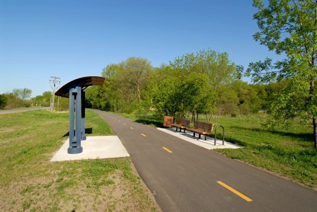
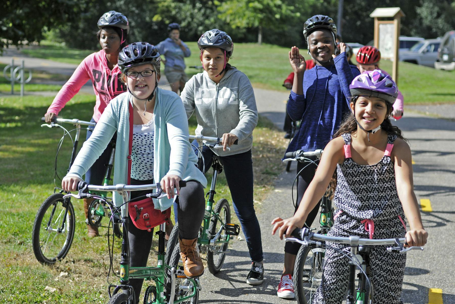
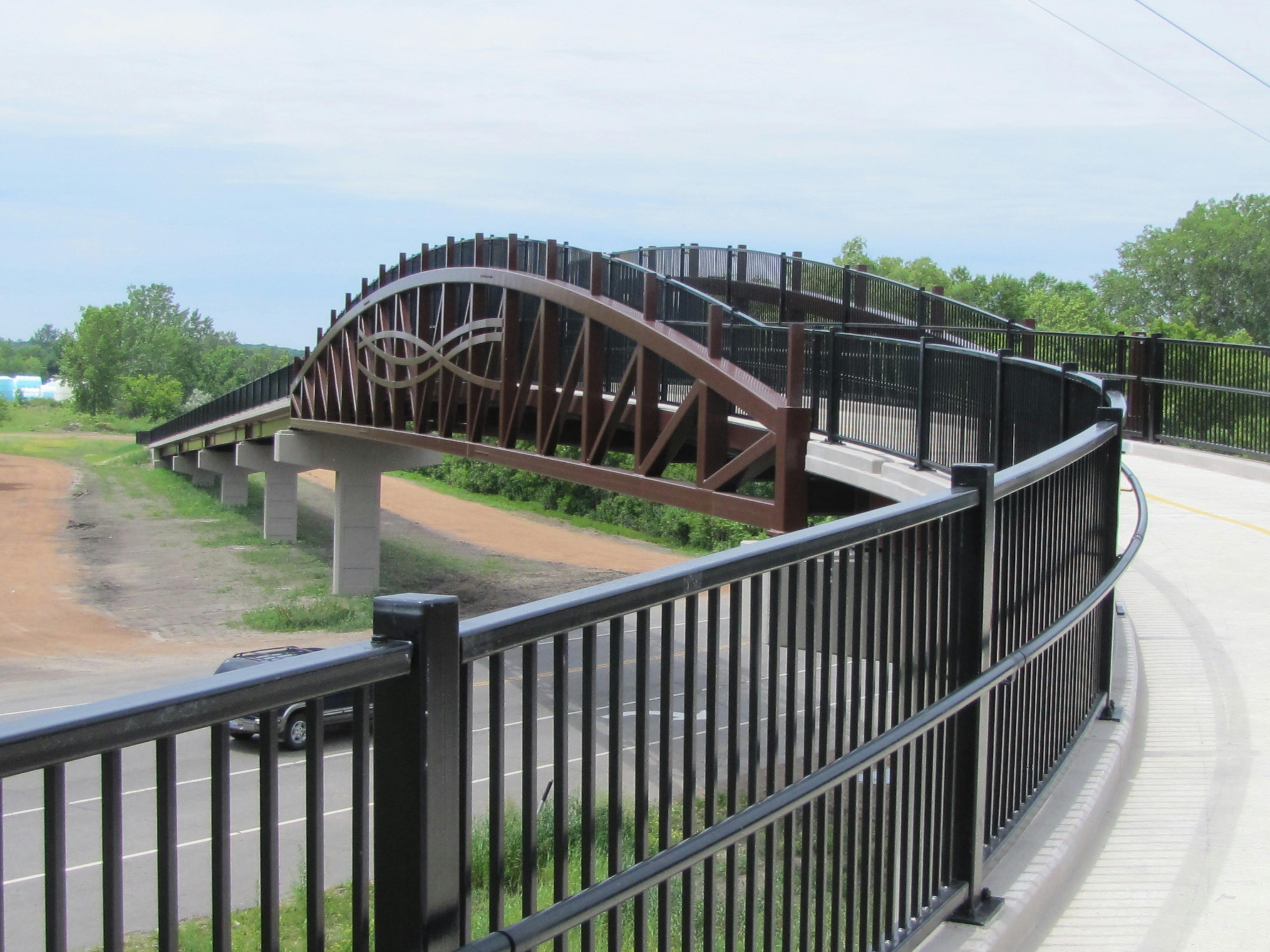
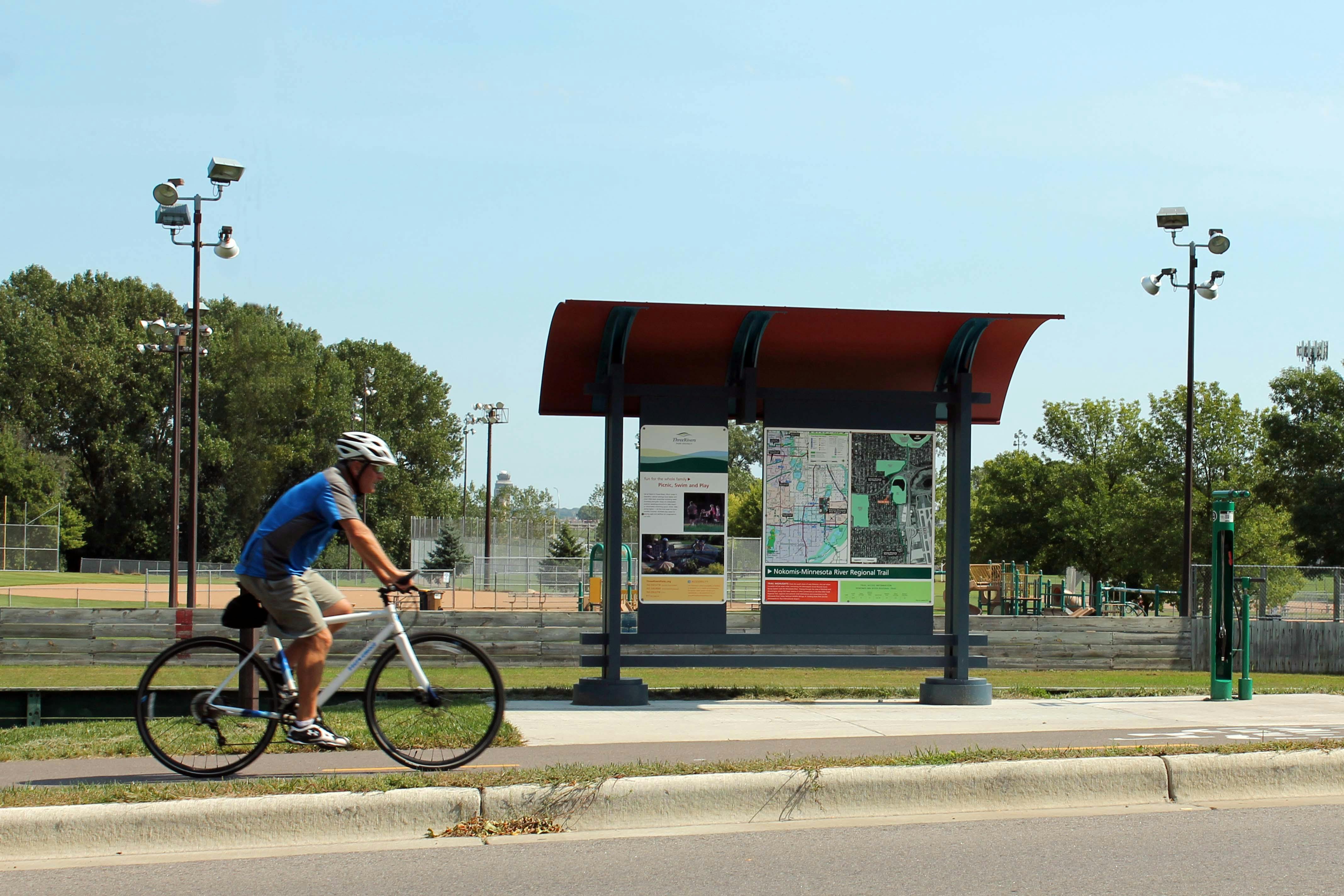
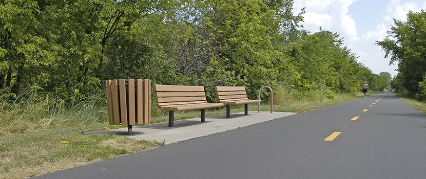
Three Rivers Park District is leading a master planning process for the Diamond Lake Regional Trail - a new north-south 10-foot-wide paved, multi-use regional trail through western Hennepin County which would allow biking, hiking, dog walking, running, and in-line skating.
In 2020, Three Rivers obtained extensive feedback from the community and coordinated with city partners along the proposed route to determine and approve the preferred route for the regional trail. The Diamond Lake Regional Trail is now envisioned to connect to the West Mississippi River Regional Trail in Dayton at its northern terminus and travel through Rogers and Corcoran to the Lake Independence Regional Trail and Baker Park Reserve in Medina at its southern terminus. After additional public engagement in 2021 and at the request of the cities of Medina and Long Lake, the preferred route for the regional trail will avoid southeast Medina and the City of Long Lake.
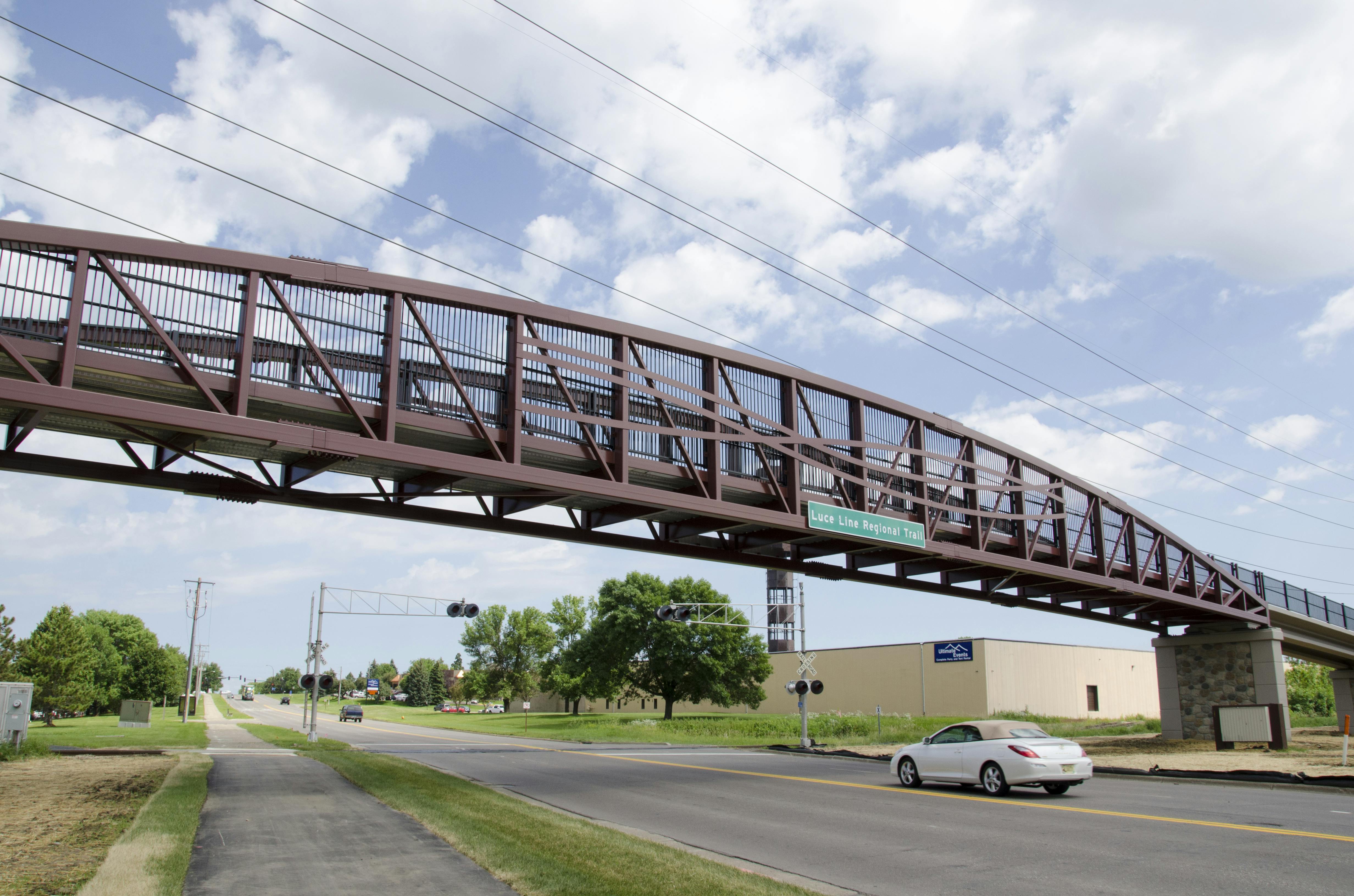
This planning effort also envisions a north-south trail connection in Wayzata and Orono linking the Dakota Rail Regional Trail and Luce Line State Trail. This trail connection will be called the Dakota Rail – Luce Line Connector Regional Trail. This trail connection, along with the existing trail connection of the Luce Line State Trail and the Lake Independence Regional Trail, will provide the contiguous trail route that was originally envisioned for the Diamond Lake Regional Trail corridor.
For quick reference, a PDF map of the preferred route for the Diamond Lake Regional Trail approved by each community is available here.
A detailed, interactive map for the preferred route is available here.
30-Day Public Comment Period
Three Rivers Park District has completed the draft master plan for the Diamond Lake Regional Trail and Dakota Rail – Luce Line Connector Regional Trails.The 30-day public comment period took place from May 4, 2022, through June 3, 2022. View the updated draft master plan.View the master plan appendices, including comments received during the public comment period.
Following Metropolitan Council approval and final adoption of the completed master plan by the Three Rivers Park District Board of Commissioners, Three Rivers will work to secure funding and work with willing sellers and partners to secure required property rights and commence trail construction. Trail construction will occur in multiple phases as funding and development opportunities allow and will likely take two to three decades to fully achieve.
Project Background and Status
Three Rivers Park District is leading a master planning process for the Diamond Lake Regional Trail - a new north-south 10-foot-wide paved, multi-use regional trail through western Hennepin County which would allow biking, hiking, dog walking, running, and in-line skating.
In 2020, Three Rivers obtained extensive feedback from the community and coordinated with city partners along the proposed route to determine and approve the preferred route for the regional trail. The Diamond Lake Regional Trail is now envisioned to connect to the West Mississippi River Regional Trail in Dayton at its northern terminus and travel through Rogers and Corcoran to the Lake Independence Regional Trail and Baker Park Reserve in Medina at its southern terminus. After additional public engagement in 2021 and at the request of the cities of Medina and Long Lake, the preferred route for the regional trail will avoid southeast Medina and the City of Long Lake.
This planning effort also envisions a north-south trail connection in Wayzata and Orono linking the Dakota Rail Regional Trail and Luce Line State Trail. This trail connection will be called the Dakota Rail – Luce Line Connector Regional Trail. This trail connection, along with the existing trail connection of the Luce Line State Trail and the Lake Independence Regional Trail, will provide the contiguous trail route that was originally envisioned for the Diamond Lake Regional Trail corridor.
For quick reference, a PDF map of the preferred route for the Diamond Lake Regional Trail approved by each community is available here.
A detailed, interactive map for the preferred route is available here.
30-Day Public Comment Period
Three Rivers Park District has completed the draft master plan for the Diamond Lake Regional Trail and Dakota Rail – Luce Line Connector Regional Trails.The 30-day public comment period took place from May 4, 2022, through June 3, 2022. View the updated draft master plan.View the master plan appendices, including comments received during the public comment period.
Following Metropolitan Council approval and final adoption of the completed master plan by the Three Rivers Park District Board of Commissioners, Three Rivers will work to secure funding and work with willing sellers and partners to secure required property rights and commence trail construction. Trail construction will occur in multiple phases as funding and development opportunities allow and will likely take two to three decades to fully achieve.
If you have general comments about the Diamond Lake Regional Trail planning process, please share them here.
You need to be signed in to comment in this Guest Book.
You need to be signed in to comment in this Guest Book. Click here to Sign In or Register to get involved
We are not in favor of trails coming through through our neighborhood, especially around Hackamore Rd in Corcoran. The street is already narrow, windy, and would cause landowners to lose part of their land. We also have a lot of kids in our neighborhood and adding a bike trail with traffic would make it unsafe for them.
Alison
Over 5 years ago
Hello! I am leaving a comment to encourage you to not develop the trail along P Old Long Lake road near Wayzata Country Club. This is a very narrow road that does not have a lot of room. Cars can tend to go very fast along here and you also have golfers trying to cross the road in two spots. This is not very safe and it would be very disruptive to golfers and possibly even dangerous for people on the trail to be so close to the golf holes. I would ask that you route around this area which I believe is to the west a bit. Thank you.
Safdahl
Over 5 years ago
I am not in favor of the exorbitant trail that is being planned. It involves the taking of private property that private landowners have paid extraordinarily high taxes so THEY can enjoy their own property or sell it and gain some profit. I don't understand why using the shoulders of already established roads won't suffice. At least widening the roads is less intrusive than plowing through wetlands, wooded areas and private citizens backyards. You are impacting much more wildlife by creating a new path, not to mention storm water run off. Many roads already do or will have storm water capabilities to accommodate this. I am against this trail being placed on the West side of Holy Name Lake. The nesting Swans, Eagles, Osprey many ducks and even otters have been able to use this habitat without interference. Currently the lake is flanked by Holy Name Drive, Lakeview Drive, County Rd 24 and the City of Medina Park off Hunter and 24. One more path on the only natural side is overkill and creating traffic on the whole circumference of the lake will be devastating.
S.Sween
Over 5 years ago
The trail is a wonderful addition to the trail system in the region and for the state. We are in favor of the route going up Tamarack ONLY if power lines will be buried and there will not be tree loss along side the road. In order to put in the trail, power lines may need to be moved which will lead to swaths and paths of trees being removed. New trees won't be planted under power lines and will leave a very barren looking road. With the burying of power lines, on far side of trail, trees can be maintained and/or replanted close the trail along side the road and trail where power line is not installed. The cost up front to do this out ways the loss long-term. Look to Bushaway Road in Wayzata where this practice was put into play.
Bridget & Jason Anderson
Over 5 years ago
I used to live in Maple Grove, where I could access miles and miles of beautiful trails just a block from my home. When I moved just 12 miles away to Rogers, I was disappointed to find that I no longer had such access without driving. A trail system where people can walk/run/bike safely is much needed in this area that is quickly growing! Currently, I just make a bunch of tiny loops in my neighborhood because I'm surrounded by busy county roads with not even a shoulder to run on. I would so much rather use trails again. I think connecting Elm Creek park to the Rogers middle/high school and to Crow Hassan would be so beneficial, as well as a connection to Henry's Woods Park. Another comment I saw on here said that it would be great to have a trail in natural areas/away from the busy roads, and I would agree and love to see that wherever it is possible to do so. The path should be wide enough to allow room for both cyclists and pedestrians. It would be great if there could be garbage cans and water fountains somewhere along the route as well.
Tayler
Over 5 years ago
My spouse and I are active users of bike trails and typically ride about 1900 miles each summer. We welcome and are excited about the addition of a new trail. We prefer trails that are quiet and natural. Trails that parallel roads are noisy and distracting. Frequent stops and stop signs also distract from a serene ride. Natural beauty separates a superior trail from an average one. Paved trails are preferable.
Mlundberg
Over 5 years ago
We do not support this trail. First, I question the amount of tax dollars being spent. Is the planning team attempting to put in a "cadillac" when a "chevy" would suffice? I was told by the planning team their goal is a "park setting." To my thinking, this attitude will greatly increase the cost. Are our county\state budgets really in such great shape that we afford this attitude? Aren't there higher priorities for tax dollars? Like highways, freeways, bridges? I don't disagree with trails in general but this proposed trail sounds off the charts from a dollars perspective. Second, we strongly disagree with the proposed route down Hackamore Road in Medina for numerous reasons. If planners have looked at the logistics of this area, they should have concluded there is no room to add a trail along this narrow gravel road with wetland on both sides of some stretches of the road. It is not workable without taking private land, which will not be offered for a trail. Additionally, a county-wide trail should not be routed through a residential neighborhood for the obvious reasons already stated in numerous other comments (loss of security, privacy, tranquility, etc.) Planners really need to consider what they are asking of private property owners along some of the proposed routes.
Medinarez
Over 5 years ago
Please do not make the trail loop around through the wetlands south of the Enclave neighborhood in Medina. As a resident in one of these homes the trail would border, we are extremely opposed to this. We bought this house believing there would never be anything behind us but undeveloped wetland. Also as a mom of a child who has Down syndrome we would not like pathway so close to our house because like many children with Down syndrome he is a bolter/runner and the wetland grass has always been a buffer to keep him safe from the roadways and strangers. Please consider keeping it on Hunter road. We love that there will be a trail but not right in our backyards. Thank you for your consideration.
Patti
Over 5 years ago
I recommend that the trail be kept away from the traffic as much as possible. The trails I enjoy are ones on which I can ride my bike and look off at the ever changing MN scenery. The trails that leave me cold are one that just parallels a highway. If we’re building trails just to get somewhere, then we already have plenty of roads to allow that. But instead if the trail is to be part of an overall vision of an integrated parks and trails system, then the trail should be more like a park and less like a highway
Longhaultrucker
Over 5 years ago
Please consider providing safe trail connections from the Rogers neighborhoods, particularly south and west of 94. Also critical is freeway bridge or tunnel crossing. The county roads in the area are not at all safe for bike travel as-is. It would be a shame to get this wonderful trail but still have to drive to access. Please prioritize connecting to Elm Creek and existing Maple Grove trails, as I believe that would be more useful than routing over to the west by Crow-Hassan and the Lake Independence Regional Trail which isn't as scenic and is near busy roads for much of travel.
caribouluvr
Over 5 years ago
We oppose this trail route option because it goes through very private and secluded land and it puts too great a burden on these neighbors, who also oppose this plan, and who were not informed of the plan or the public meeting. We generally support trail expansion and we are trail users. We would support the Tamarack route, with conditions.
Rena and John Turnham
Almost 6 years ago
We generally support trail expansion and we are trail uses. However, we oppose the trail route option that goes through very private and secluded land as it puts too great a burden on our near neighbors--this is the route option that goes nearest to Wolsfeld Woods and affects these residents: Crosby, Wahlfor and Ringer. We would support the Tamarack route, with conditions.
Rena and John Turnham
Almost 6 years ago
Love this! We live in Dayton and are excited about the future plans. One suggestion is an app that would allow you to input where you want to start on the bike trail and where to end with bike trail GPS directions (kind of like Waze but for a bike trail).
Krakowski
Almost 6 years ago
Ferndale has to be removed from consideration. I don't live on Ferndale, but it is way too busy of a road already and would make it even more dangerous. Hunter Drive is narrow and cars drive very fast and many bikes use the road. We are always concerned about the safety. There is water on the west side so that may be an issue. Also most houses on the east side set back from the road more than those on the west side so there would be room. We love to bike!!
CountryGal
Almost 6 years ago
We live in Rogers and are a very active family. We would love to have any paved trail access to bike or run on. I think this trail is a great start and eventually would love to see a path on Brockton to 101 that connects to Elm Creek trails.
Mschultz
Almost 6 years ago
Please put the trail along Hunter Road between 6 and 24. We along with many would use the trail. Hunter Road is now often used and is dangerous with no berm.
Robert Carter
Almost 6 years ago
Continued development of the bike trails is the future. I can understand the feelings of not wanting the shape of the landscape to change however change is inevitable. Citizens today want this amenity. I feel unsafe riding on the county roads which is the only option in Corcoran for a longer ride. Recently a friend biking on a county road near Delano was the victim of a hit and run accident. He needed surgery and hospitalization. If you cannot build a continuous trail from Wayzata and Medina then please consider a trail in Corcoran and Rogers to connect to the trails in Plymouth and Dayton. Corcoran is developing now and people will want these kinds of activities available to them. This is the time to make it happen!
Kay
Almost 6 years ago
Removed by moderator.
Guck
Almost 6 years ago
We would like the trail that is purposed on the south end of Hassan hills to go around the wetlands instead of through the middle. It makes no sense to make a trail right through the middle of the wooded area. It is wet most of the year.
Guck
Almost 6 years ago
Please keep pavement OUT OF Crow Hassan. Too beautiful a natural resource AND bikes near horses is an equation that equals DISASTER and INJURIES.


We are not in favor of trails coming through through our neighborhood, especially around Hackamore Rd in Corcoran. The street is already narrow, windy, and would cause landowners to lose part of their land. We also have a lot of kids in our neighborhood and adding a bike trail with traffic would make it unsafe for them.
Hello! I am leaving a comment to encourage you to not develop the trail along P
Old Long Lake road near Wayzata Country Club. This is a very narrow road that does not have a lot of room. Cars can tend to go very fast along here and you also have golfers trying to cross the road in two spots. This is not very safe and it would be very disruptive to golfers and possibly even dangerous for people on the trail to be so close to the golf holes. I would ask that you route around this area which I believe is to the west a bit. Thank you.
I am not in favor of the exorbitant trail that is being planned. It involves the taking of private property that private landowners have paid extraordinarily high taxes so THEY can enjoy their own property or sell it and gain some profit. I don't understand why using the shoulders of already established roads won't suffice. At least widening the roads is less intrusive than plowing through wetlands, wooded areas and private citizens backyards.
You are impacting much more wildlife by creating a new path, not to mention storm water run off.
Many roads already do or will have storm water capabilities to accommodate this.
I am against this trail being placed on the West side of Holy Name Lake. The nesting Swans, Eagles, Osprey many ducks and even otters have been able to use this habitat without interference. Currently the lake is flanked by Holy Name Drive, Lakeview Drive, County Rd 24 and the City of Medina Park off Hunter and 24. One more path on the only natural side is overkill and creating traffic on the whole circumference of the lake will be devastating.
The trail is a wonderful addition to the trail system in the region and for the state. We are in favor of the route going up Tamarack ONLY if power lines will be buried and there will not be tree loss along side the road. In order to put in the trail, power lines may need to be moved which will lead to swaths and paths of trees being removed. New trees won't be planted under power lines and will leave a very barren looking road. With the burying of power lines, on far side of trail, trees can be maintained and/or replanted close the trail along side the road and trail where power line is not installed. The cost up front to do this out ways the loss long-term. Look to Bushaway Road in Wayzata where this practice was put into play.
I used to live in Maple Grove, where I could access miles and miles of beautiful trails just a block from my home. When I moved just 12 miles away to Rogers, I was disappointed to find that I no longer had such access without driving. A trail system where people can walk/run/bike safely is much needed in this area that is quickly growing! Currently, I just make a bunch of tiny loops in my neighborhood because I'm surrounded by busy county roads with not even a shoulder to run on. I would so much rather use trails again. I think connecting Elm Creek park to the Rogers middle/high school and to Crow Hassan would be so beneficial, as well as a connection to Henry's Woods Park. Another comment I saw on here said that it would be great to have a trail in natural areas/away from the busy roads, and I would agree and love to see that wherever it is possible to do so. The path should be wide enough to allow room for both cyclists and pedestrians. It would be great if there could be garbage cans and water fountains somewhere along the route as well.
My spouse and I are active users of bike trails and typically ride about 1900 miles each summer. We welcome and are excited about the addition of a new trail. We prefer trails that are quiet and natural. Trails that parallel roads are noisy and distracting. Frequent stops and stop signs also distract from a serene ride. Natural beauty separates a superior trail from an average one. Paved trails are preferable.
We do not support this trail. First, I question the amount of tax dollars being spent. Is the planning team attempting to put in a "cadillac" when a "chevy" would suffice? I was told by the planning team their goal is a "park setting." To my thinking, this attitude will greatly increase the cost. Are our county\state budgets really in such great shape that we afford this attitude? Aren't there higher priorities for tax dollars? Like highways, freeways, bridges? I don't disagree with trails in general but this proposed trail sounds off the charts from a dollars perspective.
Second, we strongly disagree with the proposed route down Hackamore Road in Medina for numerous reasons. If planners have looked at the logistics of this area, they should have concluded there is no room to add a trail along this narrow gravel road with wetland on both sides of some stretches of the road. It is not workable without taking private land, which will not be offered for a trail. Additionally, a county-wide trail should not be routed through a residential neighborhood for the obvious reasons already stated in numerous other comments (loss of security, privacy, tranquility, etc.) Planners really need to consider what they are asking of private property owners along some of the proposed routes.
Please do not make the trail loop around through the wetlands south of the Enclave neighborhood in Medina. As a resident in one of these homes the trail would border, we are extremely opposed to this. We bought this house believing there would never be anything behind us but undeveloped wetland. Also as a mom of a child who has Down syndrome we would not like pathway so close to our house because like many children with Down syndrome he is a bolter/runner and the wetland grass has always been a buffer to keep him safe from the roadways and strangers. Please consider keeping it on Hunter road. We love that there will be a trail but not right in our backyards. Thank you for your consideration.
I recommend that the trail be kept away from the traffic as much as possible. The trails I enjoy are ones on which I can ride my bike and look off at the ever changing MN scenery. The trails that leave me cold are one that just parallels a highway. If we’re building trails just to get somewhere, then we already have plenty of roads to allow that. But instead if the trail is to be part of an overall vision of an integrated parks and trails system, then the trail should be more like a park and less like a highway
Please consider providing safe trail connections from the Rogers neighborhoods, particularly south and west of 94. Also critical is freeway bridge or tunnel crossing. The county roads in the area are not at all safe for bike travel as-is. It would be a shame to get this wonderful trail but still have to drive to access. Please prioritize connecting to Elm Creek and existing Maple Grove trails, as I believe that would be more useful than routing over to the west by Crow-Hassan and the Lake Independence Regional Trail which isn't as scenic and is near busy roads for much of travel.
We oppose this trail route option because it goes through very private and secluded land and it puts too great a burden on these neighbors, who also oppose this plan, and who were not informed of the plan or the public meeting. We generally support trail expansion and we are trail users. We would support the Tamarack route, with conditions.
We generally support trail expansion and we are trail uses. However, we oppose the trail route option that goes through very private and secluded land as it puts too great a burden on our near neighbors--this is the route option that goes nearest to Wolsfeld Woods and affects these residents: Crosby, Wahlfor and Ringer. We would support the Tamarack route, with conditions.
Love this! We live in Dayton and are excited about the future plans. One suggestion is an app that would allow you to input where you want to start on the bike trail and where to end with bike trail GPS directions (kind of like Waze but for a bike trail).
Ferndale has to be removed from consideration. I don't live on Ferndale, but it is way too busy of a road already and would make it even more dangerous. Hunter Drive is narrow and cars drive very fast and many bikes use the road. We are always concerned about the safety. There is water on the west side so that may be an issue. Also most houses on the east side set back from the road more than those on the west side so there would be room. We love to bike!!
We live in Rogers and are a very active family. We would love to have any paved trail access to bike or run on. I think this trail is a great start and eventually would love to see a path on Brockton to 101 that connects to Elm Creek trails.
Please put the trail along Hunter Road between 6 and 24. We along with many would use the trail. Hunter Road is now often used and is dangerous with no berm.
Continued development of the bike trails is the future. I can understand the feelings of not wanting the shape of the landscape to change however change is inevitable. Citizens today want this amenity.
I feel unsafe riding on the county roads which is the only option in Corcoran for a longer ride. Recently a friend biking on a county road near Delano was the victim of a hit and run accident. He needed surgery and hospitalization.
If you cannot build a continuous trail from Wayzata and Medina then please consider a trail in Corcoran and Rogers to connect to the trails in Plymouth and Dayton. Corcoran is developing now and people will want these kinds of activities available to them. This is the time to make it happen!
Removed by moderator.
We would like the trail that is purposed on the south end of Hassan hills to go around the wetlands instead of through the middle. It makes no sense to make a trail right through the middle of the wooded area. It is wet most of the year.
Please keep pavement OUT OF Crow Hassan. Too beautiful a natural resource AND bikes near horses is an equation that equals DISASTER and INJURIES.