

CP Rail Regional Trail: Golden Valley and St. Louis Park Segment
Project Background
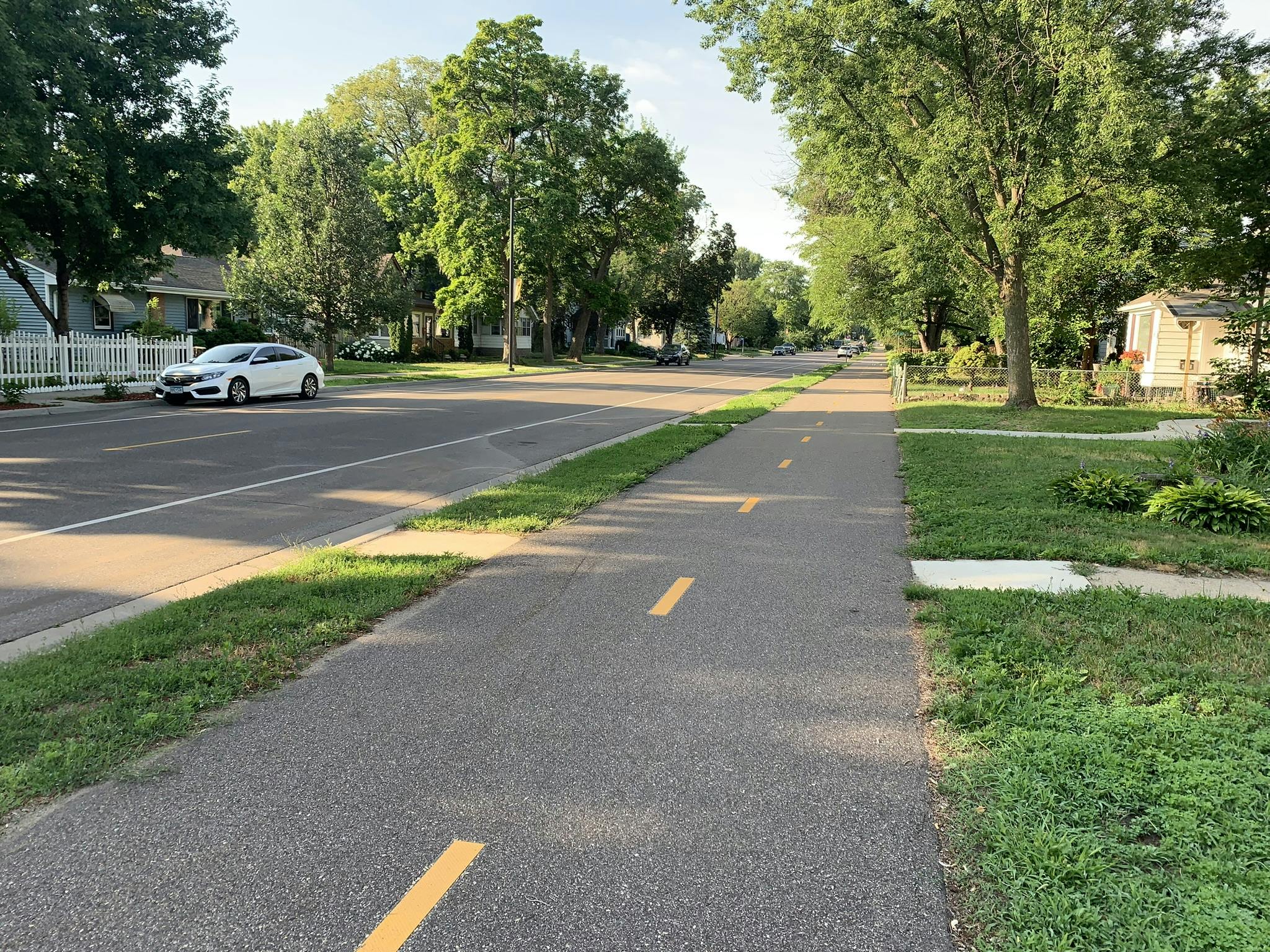
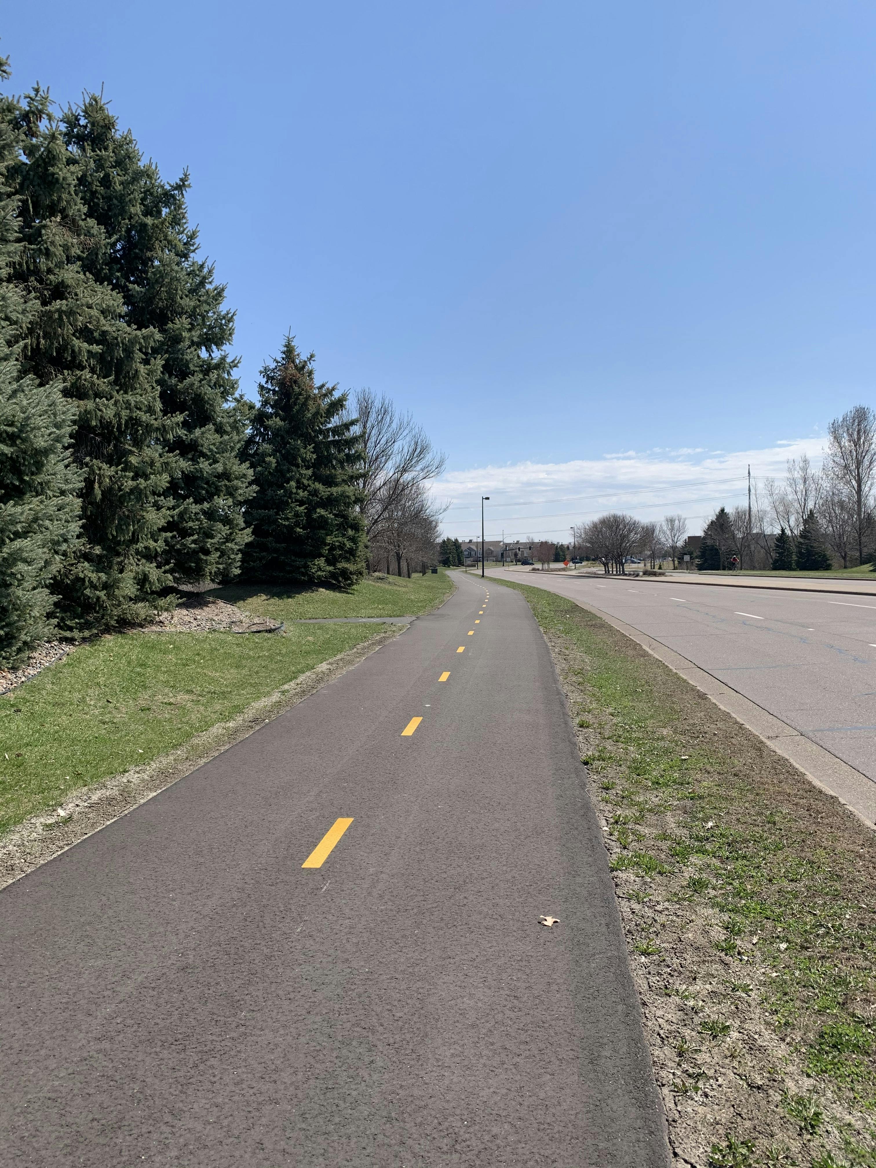
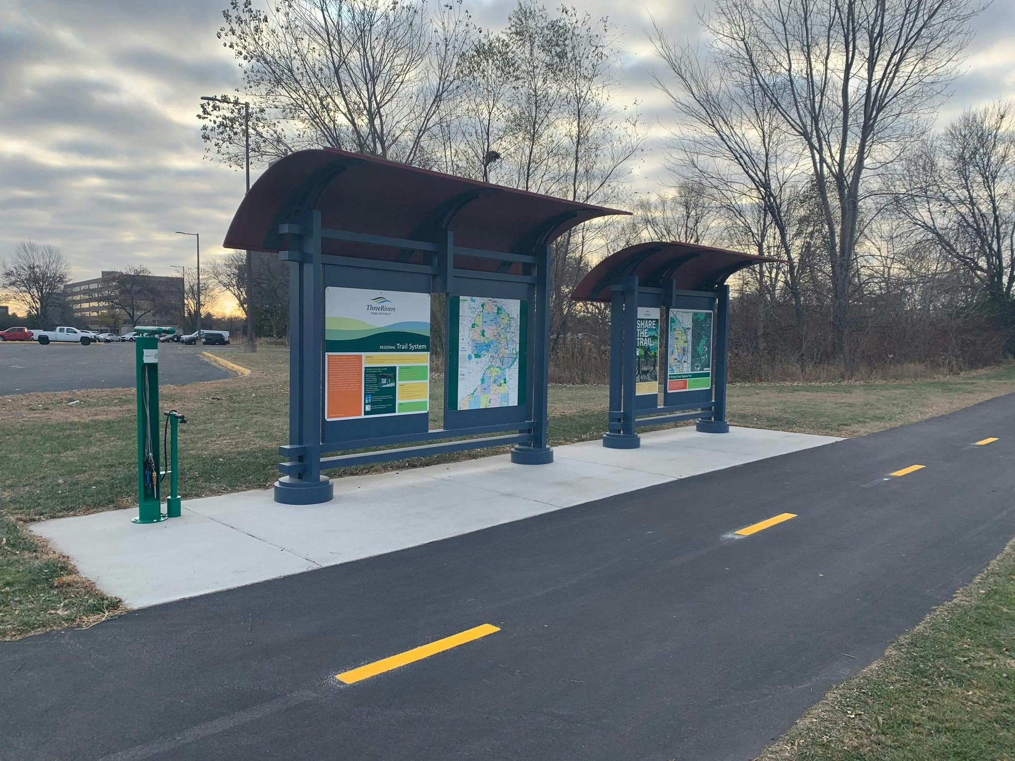
The CP Rail Regional Trail is envisioned as a north-south off-road multi-use, non-motorized recreational corridor spanning from the Crystal Lake Regional Trail in Crystal at Becker Park to the Minnesota Valley State Trail in Bloomington. The regional trail is being planned in segments to allow for thoughtful community engagement and detailed route analysis.
This long-range planning project focuses on Segment C (between the Luce Line Regional Trail in Golden Valley and the Cedar Lake Regional Trail in St. Louis Park). Planning for Segment A (between the Minnesota Valley State Trail in Bloomington and Nine Mile Creek Regional Trail in Edina) was completed in 2019. The long-range planning for Segment D (between the Crystal Lake Regional Trail in Crystal and the Luce Line Regional Trail in Golden Valley) was completed in 2023.
This long-range planning work is critical, as the original vision for the regional trail was to utilize the CP Rail corridor; however, this is not currently feasible for the entire trail and alternative routes are needed in order to provide a safe, comfortable and continuous north-south regional trail for people walking and biking in the near future. The long-range planning process will identify and study alternative routes to determine which option(s) best balances feasibility, cost, private property impacts and safety.
Initial Community Engagement Phase is Complete
The initial community engagement phase to help determine the preferred route of the future CP Rail Regional Trail through Golden Valley and St. Louis Park between the Luce Line and Cedar Lake Regional Trails is now complete.
The four route options within each city, shown on the adjacent map, were available for consideration. The public was invited to share their feedback and their preferred route through a variety of ways including community events, virtual and in-person meetings, an on-line interactive map and survey, email and more.
Route Assessment and Recommendation
Three Rivers and City staff presented the findings from the route assessment and recommended preferred routes to the St. Louis Park Parks and Recreation Advisory Commission on October 18, 2023, and to the Golden Valley Open Space & Recreation Commission on October 23, 2023.
At the November 13, 2023, St. Louis Park City Council meeting, City and Three Rivers staff presented the route assessment and recommendation for the St. Louis Park segment of the CP Rail Regional Trail long-range plan to the City Council. The council listened to the assessment findings and route recommendation but did not take formal action. Also at the November 13 meeting, members of the public in attendance were able to comment and ask questions regarding the assessment and route recommendation. View a summary of the questions asked at that meeting and responses provided by St. Louis Park and Three Rivers staff.
Recommended Trail Route
Golden Valley
At the December 12, 2023, Golden Valley City Council Work Session, Three Rivers staff presented engagement findings, analysis and a route recommendation for GV2, which council members expressed support for. However, after a change in city priorities, the Council reconsidered the route recommendation at the June 10, 2025, Golden Valley City Council work session and expressed support for route GV4. Route GV4 was then formally supported at the June 17, 2025, Golden Valley City Council meeting.
St. Louis Park
As a follow-up to the St. Louis Park City Council discussion in November of 2023, Three Rivers and City staff presented an update on the long-range planning efforts at a St. Louis Park City Council study session on April 24, 2024, which included additional information and analysis regarding the Louisiana Ave corridor (routes SLP1 & SLP3). Subsequently, at the June 3, 2024, St. Louis Park City Council meeting, the Council formally supported the recommended route SLP4.
The selection of a preferred route through both cities allows Three Rivers staff to complete the long-range plan.
Share your comments
I am an avid biker but am concerned about the potential for the green areas that are currently in place being dismantled in this effort to support this regional trail master plan.Please consider having the route that keeps the mature tree canopy that is already in place and not cutting down trees for the bike route. I even wondered if it was possible to take current roads for cars and make them one way so that half of current roads could be changed over to having bikes on one side and cars on the other half.
Has the route from the north side of GV going into Crystal and New Hope been determined? That part of the route is shown by a green line but the street names are not visible. Thank you.
Guiding perspective – Bronx Park (St Louis Park) resident; a cyclist who aims to do 80% of miles on dedicated trails (average 750 + miles per summer):
DAKOTA AVE SOUTH:
Leverage Dakota Ave South (SLP 2 and SLP 4). Dakota Ave South already has many positives (compared to Louisiana Ave South):
- usable bike likes (although can be improved),
- light traffic / speed of traffic is much better,
- more people use Dakota Ave South for pedestrian activities.
LOUISANA AVE SOUTH:
Louisiana Ave South is the most poorly designed street – for both cars and pedestrians in St. Louis Park. It would need a major overhaul to make it work. With the planned roundabout on Cedar and Louisiana and the million other roundabouts on Louisiana would make it a challenge for pedestrians to feel safe.
LEVERAGE DAKOTA-EDGEWOOD BRIDGE:
It will make the investment in the pedestrian bridge create a greater return for the community. The bridge will make it easier to go North / South as well as East / West. All other routes planned along Louisiana will make it a challenge for most to connect to North Cedar Lake Region Trail.
SLP2 vs SLP4:
I went back and forth between the two but after much thought, SLP2 is the clear favorite.
I believe it will connect more of St Louis Park together as many neighborhoods will have direct access.
GOLDEN VALLEY:
GV4 already has much of the path built so If you build out GV1 – you are able to connect GV1 and GV4 together via Laurel Ave (which should improve its infrastructure between the two since there is plenty of space to do so) to create a loop. This creates options for those to connect back to GV1.
Pedestrian paths are always enjoyable when next to parks.
Guiding perspective - a cyclist who aims to do 80% of miles on dedicated trails (average 750 + miles per summer):
DAKOTA AVE SOUTH:
Leverage Dakota Ave South (SLP 2 and SLP 4). Dakota Ave South already has many positives (compared to Louisiana Ave South):
- usable bike likes (although can be improved),
- light traffic / speed of traffic is much better,
- more people use Dakota Ave South for pedestrian activities.
LOUISANA AVE SOUTH:
Louisiana Ave South is the most poorly designed street – for both cars and pedestrians in St. Louis Park. It would need a major overhaul to make it work. With the planned roundabout on Cedar and Louisiana and the million other roundabouts on Louisiana would make it a challenge for pedestrians to feel safe.
LEVERAGE DAKOTA-EDGEWOOD BRIDGE:
It will make the investment in the pedestrian bridge create a greater return for the community. The bridge will make it easier to go North / South as well as East / West. All other routes planned along Louisiana will make it a challenge for most to connect to North Cedar Lake Region Trail.
SLP2 vs SLP4:
I went back and forth between the two but after much thought, SLP2 is the clear favorite.
I believe it will connect more of St Louis Park together as many neighborhoods will have direct access.
GOLDEN VALLEY:
GV4 already has much of the path built so If you build out GV1 – you are able to connect GV1 and GV4 together via Laurel Ave (which should improve its infrastructure between the two since there is plenty of space to do so) to create a loop. This creates options for those to connect back to GV1.
Pedestrian paths are always enjoyable when next to parks.
Love the GV4 route the best. SLP3/4 look great! Thank you!
Really excited to see this happen, prefer GV3/SLP4. This connects Cedar Lake and North Cedar Lake closer to the city and at an LRT station.
I don't know how you can do this to Louisiana Ave extremely busy road there are so few bikers
On the live map, there are a massive amount of dots for "safety concerns" but no explanations. Are these legitimate concerns that should have explanations or just people along the east route claiming them because they don't want to say NOT IN MY BACK YARD.
Overall, I would prefer the west most routings for this as the way to get between the north and south end.
Please avoid Louisiana Ave. I don't think it will be safe for bikers, especially with the Louisiana Avenue "improvements" that are planned for 2024 - 2025. The roundabout that is planned to replace the stoplight is going to create constant traffic flow and make it nearly impossible for residents (guests, delivery drivers, etc) to back out of their driveways where the proposed bike path is mapped out. Adding a bike path in addition to the planned sidewalk + the semi-trucks that already use Lousiana Ave instead of hwy 100 or 169, + the buses + the Firetrucks going on emergency calls = too many variables, someone is going to get hurt.
I can’t imagine choosing a route that involves Louisiana Ave. The traffic is staggering now and will continue to grow worse. Having to coexist that traffic with bike lanes is a recipe for disaster!
Right through Dakota Park and Dakota avenue with its own dedicated paved pathway. This is one of the best investments we can do to our community. Please repave the cedar lake trail too. Our trail system is truly one of a kind and we need to make it world class. Dakota park is a center of recreation in St Louis Park. Let’s make it a true meeting place and support the Bronx Community.
I am a SLP resident who drives Louisiana Ave a lot. I also bike the North Cedar Lake Trail through several access points near Peter Hobart school/hwy 100. As a biker, there is NO WAY I would want to bike up that long and steep hill on Louisiana Ave over the RR tracks. Plus, there's too much car traffic on that' main drag'. Furthermore, there's a NEW, fancy, and expensive bike bridge over the RR tracks using the Dakota Ave route (which has also undergone improvements to be a bike route. So using SLP4 is the only really viable route, in my opinion.
I would avoid putting any additional traffic on an already congested louisiana av, especially between mtka blvd and 394.
Can more information be shared on the potential design of the bike path/s? How is it planned to affect the road, sidewalks, and private property along Franklin Ave?
It seems unclear to me as to whether bikes and cars will share Dakota and Louisiana or if a bike trail will be created. How will this impact the existing roads? Bottom line, what’s going to change?
Can more information be shared on the potential design of the bike path/s? How is it planned to affect the road, sidewalks, and private property along Dakota?
SLP3 to either GV4 or GV3.
I don't like the idea of running a trail along a busy road such as Louisiana Ave or Dakota, unless the trail is going to be completely separate from the road.

Thank you for your contribution!
Help us reach out to more people in the community
Share this with family and friends