

CP Rail Regional Trail: Golden Valley and St. Louis Park Segment
Project Background
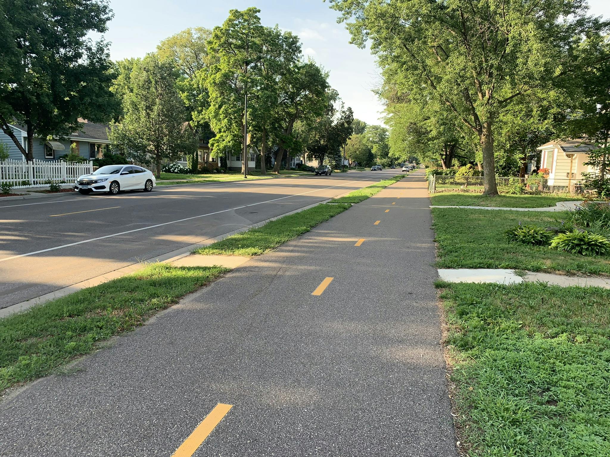
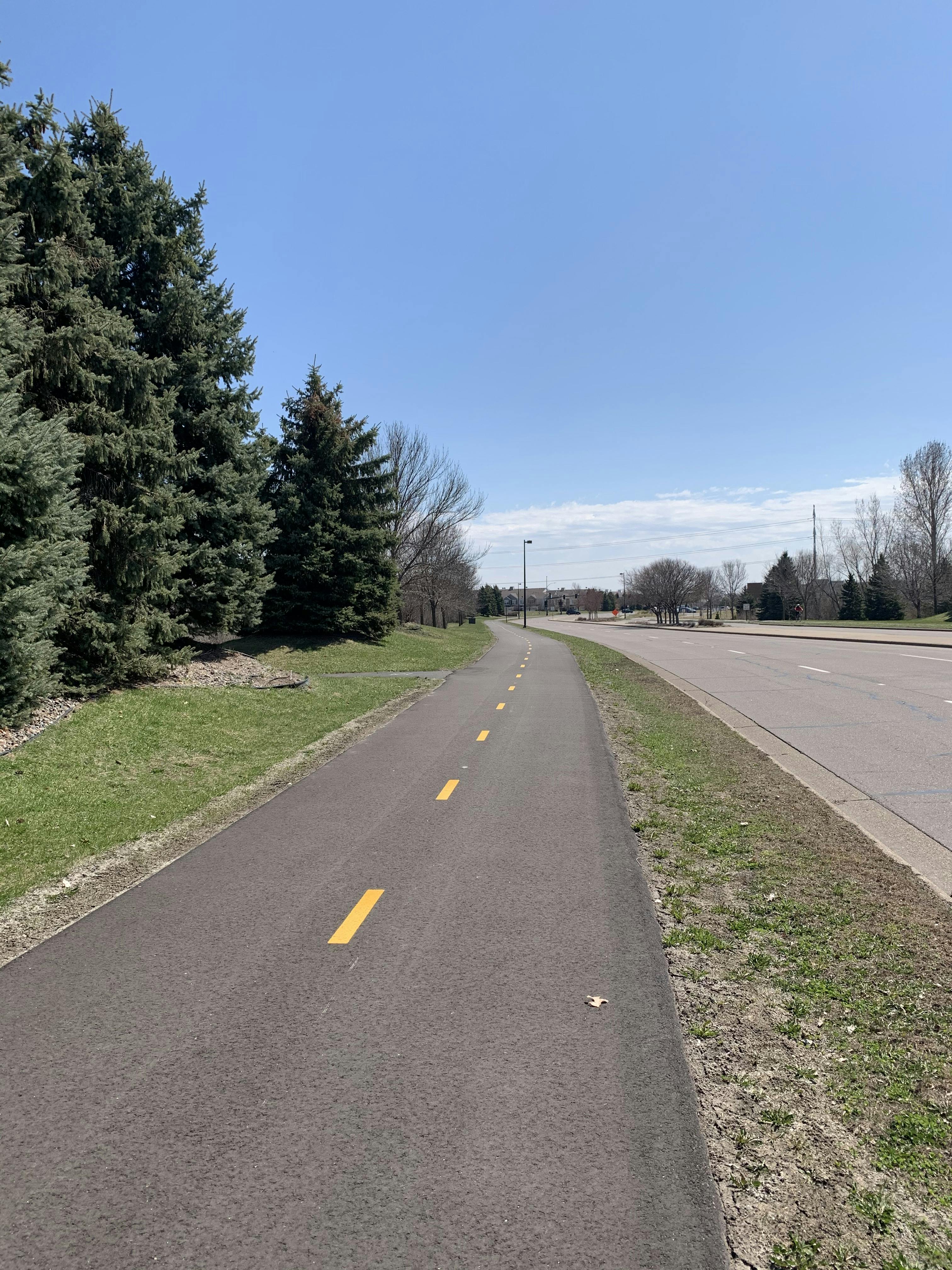
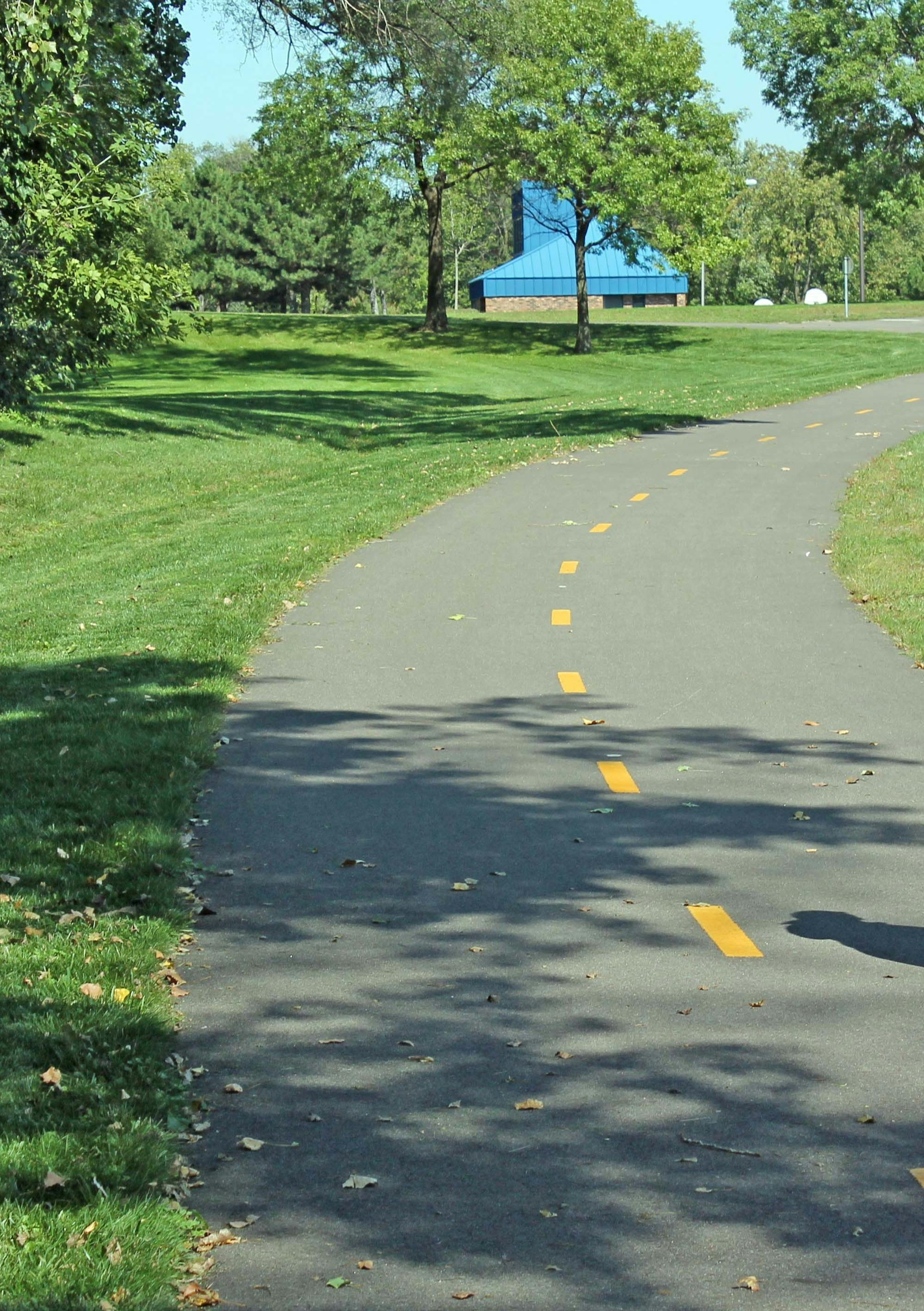
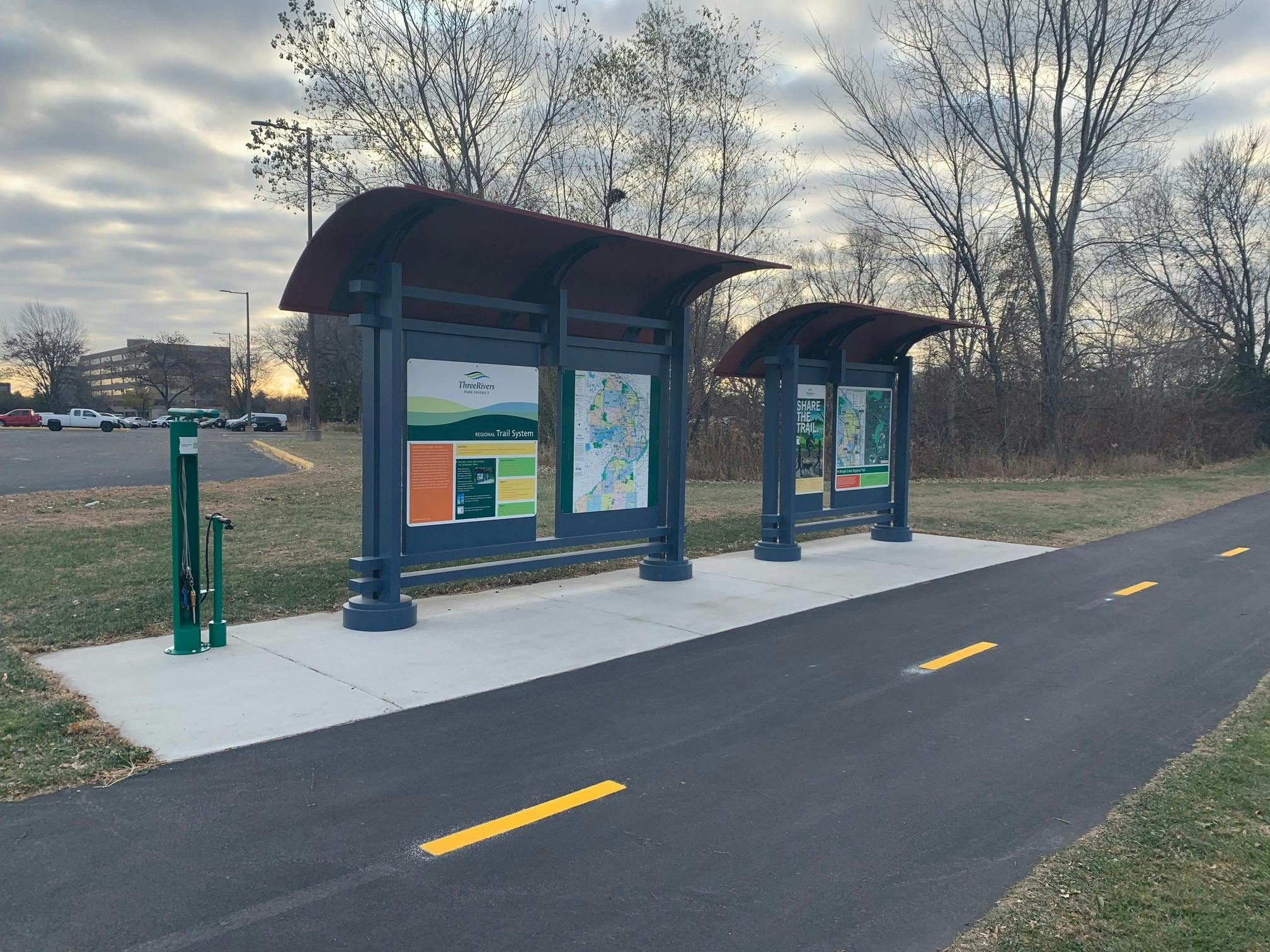
The CP Rail Regional Trail is envisioned as a north-south off-road multi-use, non-motorized recreational corridor spanning from the Crystal Lake Regional Trail in Crystal at Becker Park to the Minnesota Valley State Trail in Bloomington. The regional trail is being planned in segments to allow for thoughtful community engagement and detailed route analysis.
This long-range planning project focuses on Segment C (between the Luce Line Regional Trail in Golden Valley and the Cedar Lake Regional Trail in St. Louis Park). Planning for Segment A (between the Minnesota Valley State Trail in Bloomington and Nine Mile Creek Regional Trail in Edina) was completed in 2019. The long-range planning for Segment D (between the Crystal Lake Regional Trail in Crystal and the Luce Line Regional Trail in Golden Valley) was completed in 2023.
This long-range planning work is critical, as the original vision for the regional trail was to utilize the CP Rail corridor; however, this is not currently feasible for the entire trail and alternative routes are needed in order to provide a safe, comfortable and continuous north-south regional trail for people walking and biking in the near future. The long-range planning process will identify and study alternative routes to determine which option(s) best balances feasibility, cost, private property impacts and safety.
Initial Community Engagement Phase is Complete
The initial community engagement phase to help determine the preferred route of the future CP Rail Regional Trail through Golden Valley and St. Louis Park between the Luce Line and Cedar Lake Regional Trails is now complete.
The four route options within each city, shown on the adjacent map, were available for consideration. The public was invited to share their feedback and their preferred route through a variety of ways including community events, virtual and in-person meetings, an on-line interactive map and survey, email and more.
Route Assessment and Recommendation
Three Rivers and City staff presented the findings from the route assessment and recommended preferred routes to the St. Louis Park Parks and Recreation Advisory Commission on October 18, 2023, and to the Golden Valley Open Space & Recreation Commission on October 23, 2023.
At the November 13, 2023, St. Louis Park City Council meeting, City and Three Rivers staff presented the route assessment and recommendation for the St. Louis Park segment of the CP Rail Regional Trail long-range plan to the City Council. The council listened to the assessment findings and route recommendation but did not take formal action. Also at the November 13 meeting, members of the public in attendance were able to comment and ask questions regarding the assessment and route recommendation. View a summary of the questions asked at that meeting and responses provided by St. Louis Park and Three Rivers staff.
Recommended Trail Route
Golden Valley
At the December 12, 2023, Golden Valley City Council Work Session, Three Rivers staff presented engagement findings, analysis and a route recommendation for GV2, which council members expressed support for. However, after a change in city priorities, the Council reconsidered the route recommendation at the June 10, 2025, Golden Valley City Council work session and expressed support for route GV4. Route GV4 was then formally supported at the June 17, 2025, Golden Valley City Council meeting.
St. Louis Park
As a follow-up to the St. Louis Park City Council discussion in November of 2023, Three Rivers and City staff presented an update on the long-range planning efforts at a St. Louis Park City Council study session on April 24, 2024, which included additional information and analysis regarding the Louisiana Ave corridor (routes SLP1 & SLP3). Subsequently, at the June 3, 2024, St. Louis Park City Council meeting, the Council formally supported the recommended route SLP4.
The selection of a preferred route through both cities allows Three Rivers staff to complete the long-range plan.
Share your comments
Love it! As a year-round biker, more trails the better. And let's be honest, any route that takes us alongside cars on a busy road (Minnetonka Blvd, Louisiana Ave) with only a painted white line between us and oversized trucks and SUVs is asking for trouble. Do it right--separated, secure bike lanes make the most sense for riders and drivers.
Where are the trees along the SLP route? I only see a grass blvd. strip with no trees planted.Trees along the blvd would make the bike/walk trail more attractive, provide shade, dampen noise from traffic, and make a safer trail by adding separation from the street--put trees along here please!
I’m a retired teacher, and life-long cyclist, living in St. Louis Park. Because of the city’s efforts in developing an exceptional network of bike trails and creating bike-friendly roads, I’m able to bike year round for exercise, short errands, and long distance commuting.
That said, the west metro area, including Minneapolis, lacks a safe and efficient north/south biking corridor. As such, I appreciate our city working with the Metropolitan Council, Three Rivers Park District, and surrounding cities, to develop such a trail through St. Louis Park.
As the route selection process is primarily guided by the “visions and strategies” documented in “Plan 2040”, (accessed at https://tinyurl.com/slpplan2040), I have thoroughly reviewed the plan, and its predecessors. In addition, I’ve reviewed the 4 proposed routes, not only on paper, but have biked all of them repeatedly.
Based on those reviews, and my cycling experience, SLP4 is the only route that meets each of the plan’s goals (summarized briefly as: Safety, Efficiency, and Connection). SLP2 is safe and provides connection, but is not efficient, and thus would be my second choice. SLP1 and SLP3 are unsafe, as they use Louisiana Ave., which has physical dangers, is a stressful route for bicyclists, and has pollution.
I might also add SLP4 is already established, in a basic form, and appears to meet the Plan 2040 goals. It also connects easily to the 36th & Woodale retail area, and is the route with the closest access to the Rec Ctr., and the Excelsior & Grand downtown area. Its proximity to the West End retail/business area is a bonus.
Finally, SLP4 is the only route that aligns with the Metropolitan Council’s “Regional Bicycle Transportation Network (RBTN)” criteria for a Regional Trail Corridor through St. Louis Park (as noted on Plan 2040; 6-218 | Mobility: Getting Around Town; Figure 6.5 RBTN System).
There are comments from people living along potential routes, that they may lose some privacy and potentially tree cover, but the city’s plan provides for amelioration of those issues. My comment would be that if these losses do occur, they are more than made up by the greater good of making our city cleaner, quieter, more attractive, and by encouraging people to walk, bike and exercise more.
Louisiana Ave S is a very busy road. We now have big-rig trucks using it regularly although the road was not initially designed for this type of use.
ARE YOU INTEN DING TO CONSTRUCT THE ROAD?
OR
ARE YOU INTENDING TO IMMINENT DOMAIN OUR LAND?
Or are you not going to tell us intil the l;ast second what EXACTLY you're gonna do?
I read that "imminent domain is a tool in the toolbox".
Please be clear now or we'll have to lawyer up before you tell us.
I've been a huge supporter of 3 rivers parks till now.
But you're about to cross a line.
I frequently bike around town from St. Louis Park for fun and exercise and I really enjoy the Three River's Park District Trail system. I am excited that a north-south trail is being planed. I really like the SLP-3 route because it could use existing infrastructure like the new bike trail on Cedar Lake road and the multi-purpose trail along Louisiana. I know I would access it using the Dakota-Edgewood bridge.
I bike around town from St. Louis Park a lot for fun and exercise and I have really enjoyed the Three River Trail system so I am excited that a north-south trail is being planned. My suggested route would be SLP-3 because it could use a lot of existing trail infrastructure that is already in place like the new trail along Cedar Lake Rd. and the multipurpose trail on Louisiana. I know I would access it buy using the Dakota - Edgewood Bridge.
Please select SLP2 or 4 to keep the North/South trail truly oriented N-S without a lot of east or west movement in SLP. Keeping the trail connected efficiently will increase its functionality for commuting and necessary trips.
It looks to me as if whichever route is shown there is a glaring omission of trees planted that should / must be planted between street and path--in the boulevard. Even if you have to change the path to widen the boulevard space, it makes all the difference to have a tree lined path vrs. a hot, less safe, and not even close to an aesthetic appealing ride or walk, not to mention an environmentally beneficial CP Regional Trail..please add the trees!
The route through St Louis Park via Dakota avenue is the least desirable one. As others have pointed out, Louisiana avenue is a much better choice. There are already sidewalks in place for much of that distance and the road is in need of repair. A true bike path, separate from traffic may be incorporated with much less disruption of the existing infrastructure compared to the Louisiana avenue option. The route can still take advantage of the Dakota-Edgewood bridge, then travel on the North Cedar Lake trail west to Louisiana avenue and then south along Louisiana avenue as already indicated in the plan. Otherwise, the existing SLP 3 route would be the best choice.
Please preserve trees on Dakota Avenue. We need shade and mature trees to help with increasing temps and animals need the habitat. St. Louis park residents have already taken the brunt of the loss of trees and canopy for the light rail. Additionally, not every foot of the trail line needs to be a paved trail. Wooddale to Dakota already has a bike lane and a shared bike lane on the road or reduction to parking on one side of Dakota should be taken into consideration from Dakota to 26th.
Not Dakota
Dakota Ave is too busy for this plan. None of the residents of that street are happy, Louisiana is a better choice because the infrastructure is already there. The street are wider and more out of the way. If it going down Dakota is will be a problem and will need to be redone just like the bridge on Westwood. That bridge was poorly designed.
I agree with many of the comments below - Dakota north of Minnetonka Blvd is a neighborhood that should not be distrusted. The mature canopy of trees, narrower street, and current residents that utilize street parking needs to be considered. SLP did extensive research during their Connect the Park campaign and found much opposition from Dakota residents and settled that a shared road bike path was sufficient. SLP should not waiver on this research, feedback, and decision. I do not support a Dakota Ave trail.
Louisiana needs to be improved. Incorporating this plan in Louisiana makes more sense. There is also greater space in connecting by Louisiana Oaks Park and the light rail transit.
Please leave the trees on both sides of Dakota alone. Driving, walking, biking, and jogging down Dakota in early autumn is stunning. If they go, it would drastically change the environment.
While it's true that today Louisiana is not very bike friendly, it seems like if done properly, it has the most potential for a bike trail. The trail would need to be separated from the road, but there is much more room to do that than on Dakota.
But Cedar Lake Road and the planned Louisiana roundabout makes that direction unworkable. I'd prefer the SLP3 route, but instead of running down Cedar Lake Road, to cross the Dakota-Edgewood bridge and cut over to Louisiana on the 28th St bikeway. That would allow for a better connection with the North Cedar Lake Regional Trail and I think would negatively impact fewer trees.
Lots of commenters seem to be comparing Dakota Ave and Louisiana Ave as they exist today (as opposed to how and the extent to which they might/can be improved in the future)—and many also seem to have missed that this would be an "off-road, multi-use" trail, which I presume means that it won't use any existing on-street bike lanes. I agree with many commenters that Dakota is a more pleasant corridor, but that doesn't necessarily make it the more suitable route. In fact, I think there's far more room for improvement (both literally and figuratively) on Louisiana.
If it isn't going to be a straight path, make sure there is signage. I tried the Nine Mile Creek trail and got lost. There are so many turns, how do you know where the trail is when it gets mixed up with other local trails. More signs!
I'm very excited for for this trail, and believe the Dakota route in SLP is far superior to the Louisiana route.
However, I'd be incredibly sad if it meant loosing significant mature tree canopy; so much character, shade, and life would be lost if they were removed.
If there needs to be a compromise, my preference is to sacrifice on-street parking first, then consider limiting it to 1-way traffic car traffic if additional space is needed. Both keeping the trees and adding dedicated bike lane is the only option that fits the SLP 2040 comprehensive plan objectives.
I am an avid biker but don't want the nature tree canopy to be cut down for this regional trail. Please consider doing the route that doesn't mean trees get cut down. We need both trees and options for biking/walking transportation. I wondered if making roads one way for cars so one half of current roads could be dedicated to bikes/walkers only.

Thank you for your contribution!
Help us reach out to more people in the community
Share this with family and friends