
CP Rail Regional Trail Master Plan: Crystal, New Hope and Golden Valley Segment
CP Rail Regional Trail: Golden Valley/New Hope/Crystal
Luce Line Regional Trail to Crystal Lake Regional Trail Segment
Public Feedback: Phase 1 is Complete 
Initial feedback opportunities to help determine the preferred route of the future CP Rail Regional Trail through Golden Valley, New Hope and Crystal and between the Luce Line and Crystal Lake Regional Trails are now complete.
Three routes, displayed on the adjacent map, were available for consideration. Community members were welcomed to shared their feedback and preferred route through a wide variety of ways including community events, virtual and in-person meetings, email, an interactive map and more.
Staff are now reviewing the public feedback and completing preliminary route feasibility assessment work.
A staff recommendation for review and consideration by the respective city commissions and councils is anticipated in October/November of 2022. An opportunity for additional public feedback on the recommended route, preliminary route assessment work and high-level concept renderings is anticipated in early 2022.
Project Background
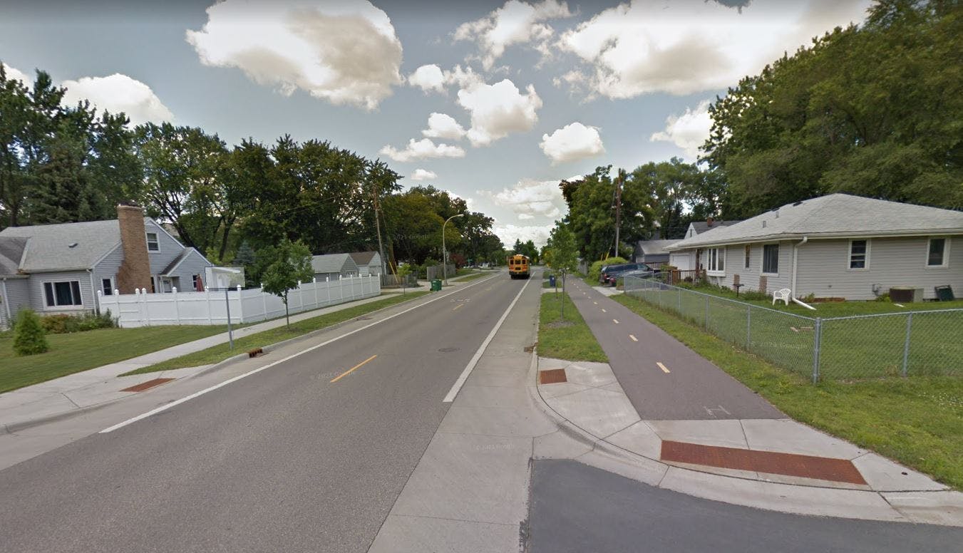
The CP Rail Regional Trail is envisioned as a north-south off-road multi-use, non-motorized recreational corridor spanning from the Crystal Lake Regional Trail in Crystal at Becker Park to the Minnesota Valley State Trail in Bloomington. The regional trail is being planned in segments to allow for thoughtful community engagement and detailed route analysis.
This master planning work is critical, as the original vision for the regional trail was to utilize the CP Rail corridor; however, this is not currently feasible and alternative routes are needed in order to provide a safe, comfortable and continuous north-south regional trail for people walking and biking in the near future. The master plan efforts will identify and study alternative routes to determine which option(s) best balances feasibility, cost, private property impacts, and safety.
Master planning for Segment A between the Minnesota Valley State Trail in Bloomington and Nine Mile Creek Regional Trail in Edina was completed in 2019 and Three Rivers is actively seeking funding opportunities to complete the associated missing trail segments and improve wayfinding along Segment A.
Share your comments
Would love to see the Winnetka trail! Thank you for your work on this!
Will these be sprayed on lanes or protected? These roads are intimidating to ride down given the speed limit and the amount of unlicensed people. When riding in mpls I find many streets are built to keep people paying more attention. Slower speeds. On street parking. Ironically narrower roads make me feel safer biking on them. Some of the roads in this map don't have that and people are off guard. Just a couple hours ago on Douglas a woman stopped, I hit breaks, she turned around, I look in mirror, she did a 360 in the middle of the road.
There’s a small paved trail on the south side of 55 from Theo worth Parkway going west toward the intersection on sharper rd. It stops by the frontage road and does not continue over to that intersection. If it were continued along the frontage road to the intersection decide 55 it would cut up a big shock to get to the Luce line by the park.
There is no need to have a Winnetka-Douglas route. Two routes are fine. How about giving us a refund rather than wasting our tax money. Property taxes are ridiculous and we’ve already been taxed enough for the New Hope pool and the Crystal police station. Please take this inquiry seriously - many residents believe our city representatives truly only represent themselves rather than the community. There are more important things that need to be addressed such as making fiber internet available to all citizens and burying power lines - this isn’t the 1950’s!
Also, it would be really helpful to have restaurants marked on the map, specifically, so we can see which route has more of them as I think many bike to get to places to eat, drink and socialize.
I like the Winnetka and the Douglas routes as they are the most straightforward, but I think I’m leaning toward using Winnetka Ave for the trail as it seems to pass more shopping areas, including the Hy-Vee and the YMCA. Winnetka traffic has been building though over time and I imagine the bikers would slow things down as it’s only two lanes so cars would have to wait for bikers to pass before turning. If Douglas has more space to have separate turn lanes (as I can’t recall) then that would definitely help maintain the flow of traffic if a big lane was added. I am also very curious if one route or the other is worse in regards to incline, and I think that should be an important factor to consider! You wouldn’t want a large hill to deter bikers from using the path if we build it. I suspect the Winnetka incline heading north might be somewhat difficult, and I’m not sure how it would be on Douglas.
Please do not select the pink route, this goes through the most residential areas of all the plans and is not a straightforward pathway with existing sidewalks causing people to cross more streets.
Do you have any mock ups of what the trail would look like? Seems like a great idea but wondering if home owners along Winnetka would have to give up some of their front yard?
I disagree with using 49th Ave. North for this purpose. I live on a cul-de-sac off 49th and 49th is our only access in and out of the cul-de-sac. It's already busy with traffic and adding a rail line would make congestion worse! Please find another option for this rail line.
Love that you are connecting these trails. Will be great to have new places to go as I primarily use the Dakota Rail Trail and the opportunity to go north will be a welcome change.
One thing I'm not clear on ... will the section of the Luce Line Trail that is being used be paved? I believe it's crushed limestone (or similar) right now, but it would be amazing if that section could be paved to increase accessibility for people using various modes of travel.
Thank you !
Testing our system - Testing 123
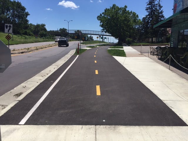
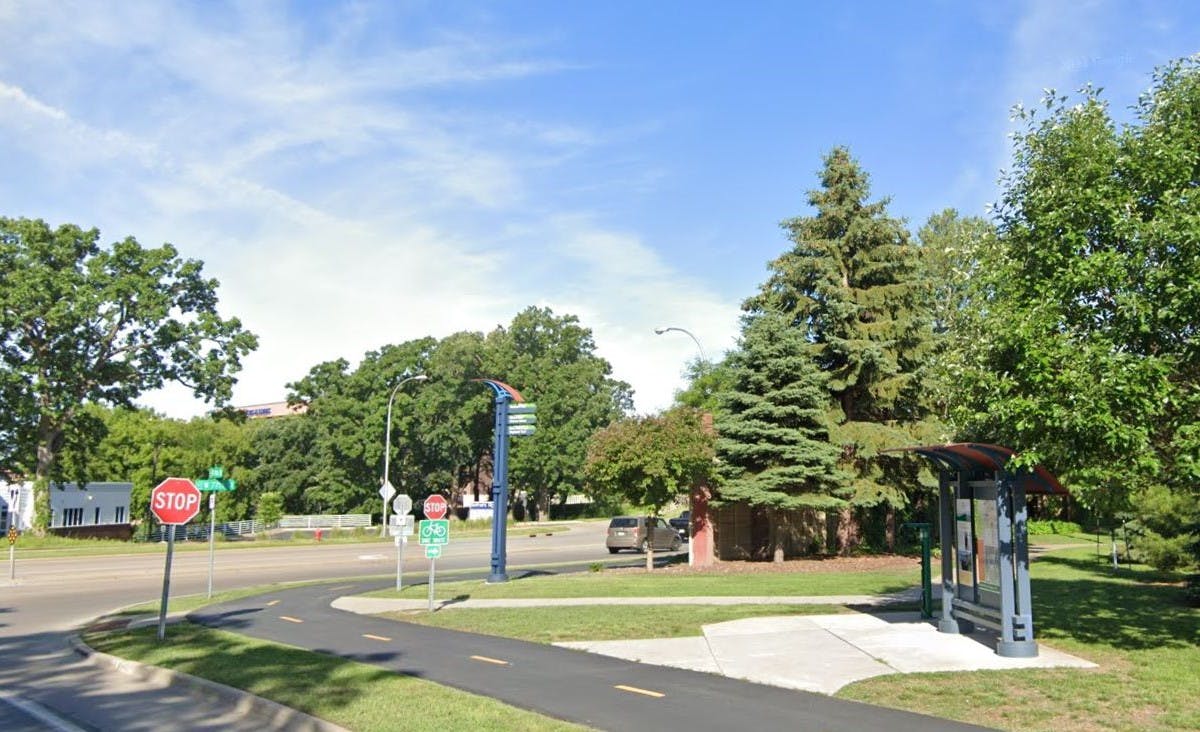
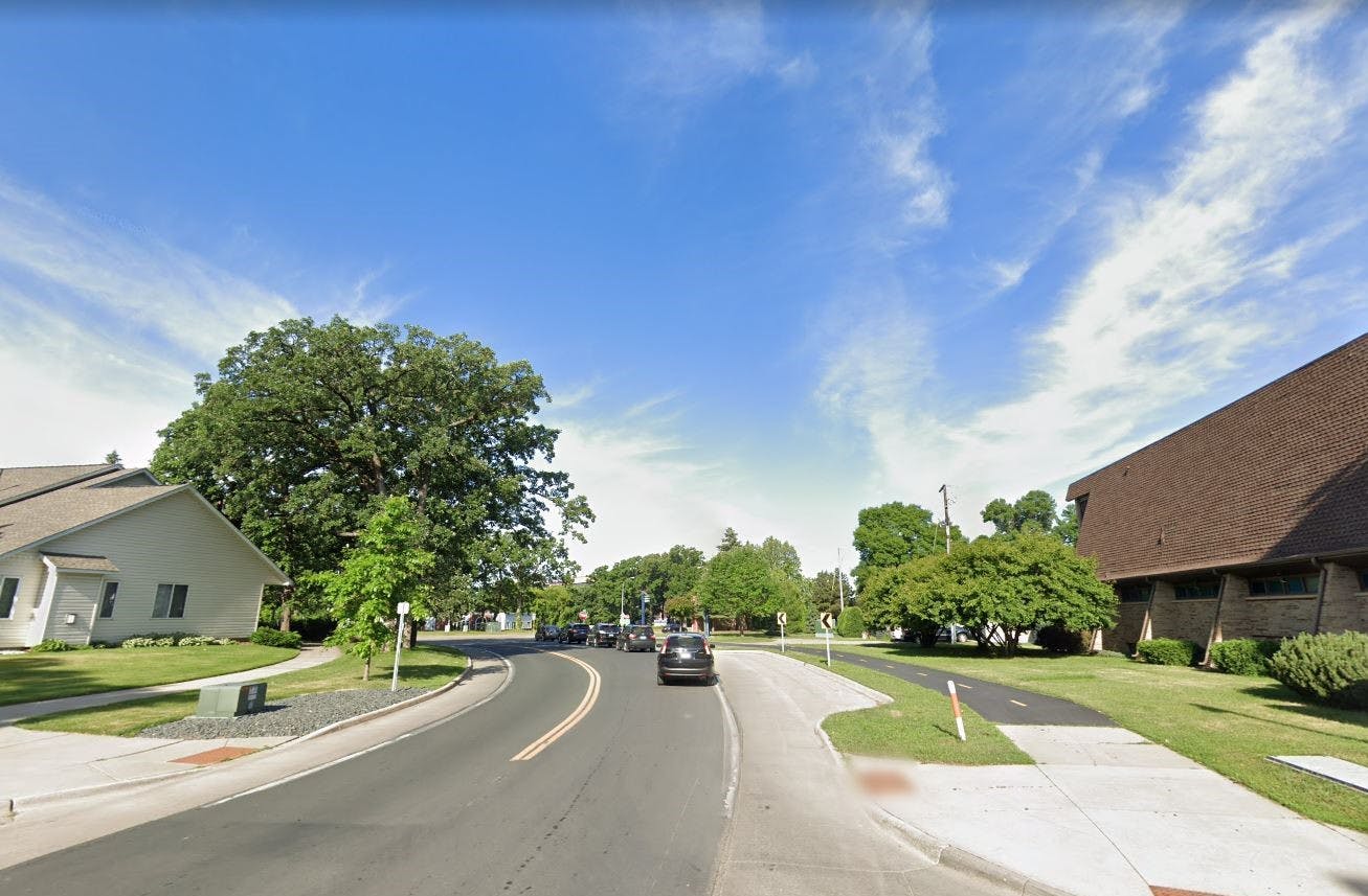
Photos
Background Materials
-
 CP Rail Regional Trail Master Plan_FAQ (309 KB) (pdf)
-
CP Rail Regional Trail Master Plan FINAL (23.4 MB) (pdf)
-
Paso A Paso Summary (331 KB) (pdf)
-
Bike Rodeo Summary (329 KB) (pdf)
-
Vehicle Fair Summary (315 KB) (pdf)
-
CP Rail Regional Trail Master Plan Trail Segments2_higher res.jpg (449 KB) (jpg)
-
CP Rail Regional Trail_July Engagement Summary (440 KB) (pdf)

Thank you for your contribution!
Help us reach out to more people in the community
Share this with family and friends